Dolomites Ronda 2
Individual Trekking Trip
Description
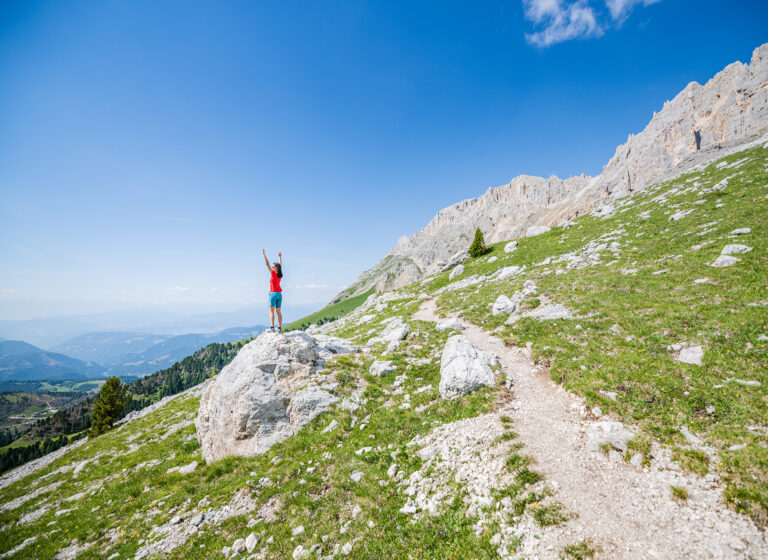
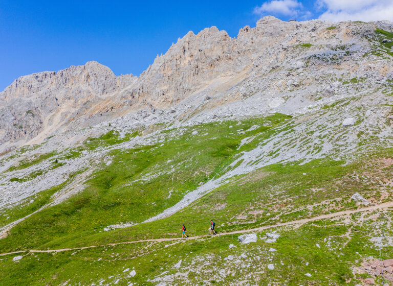
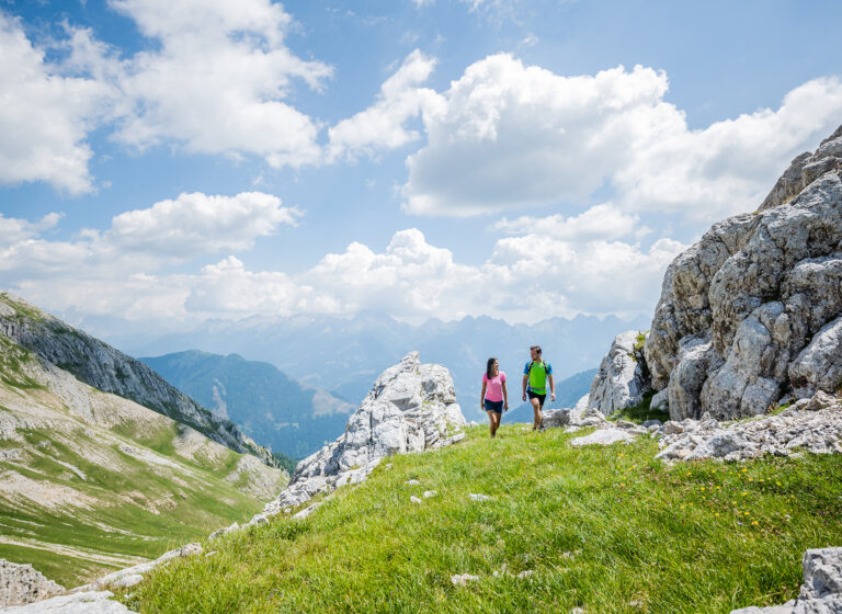
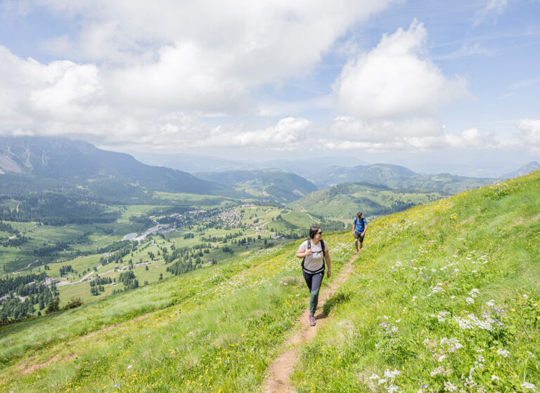
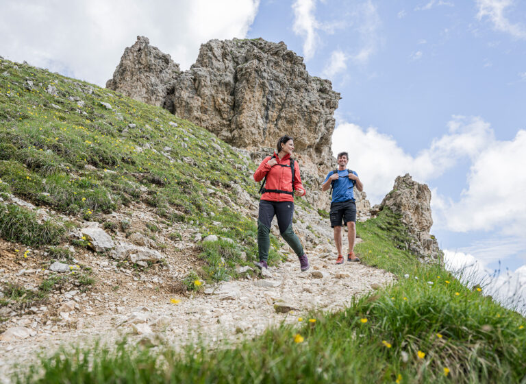
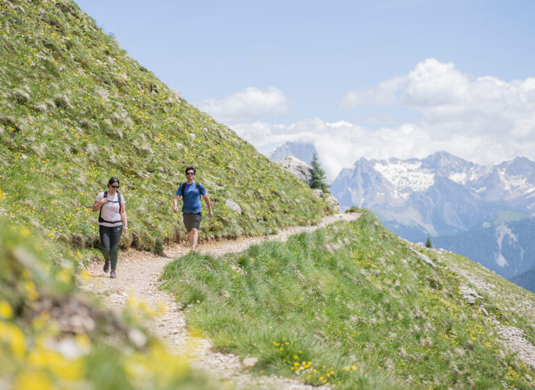
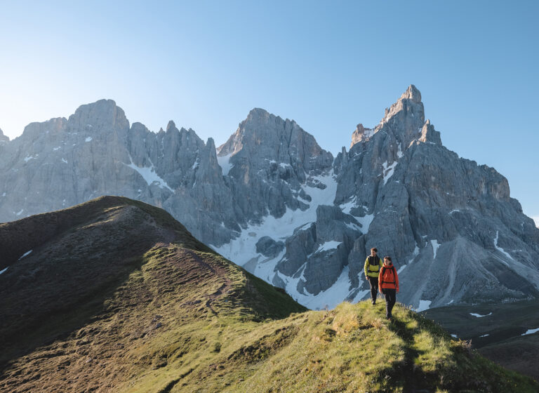
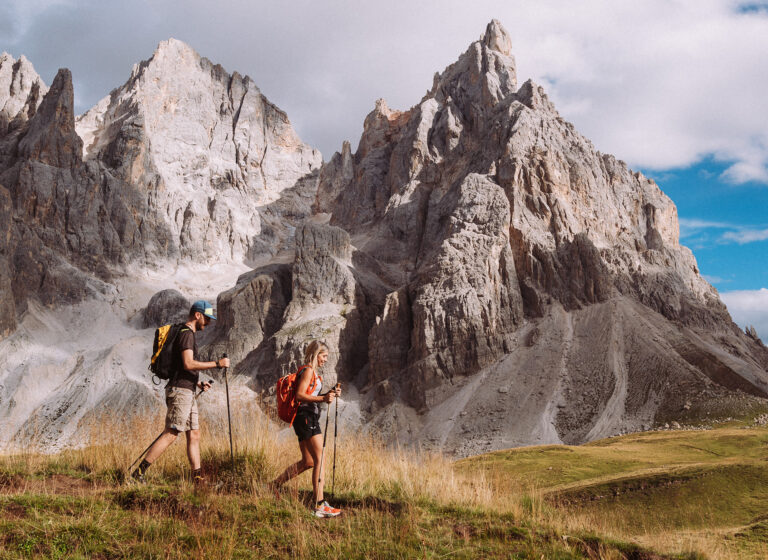
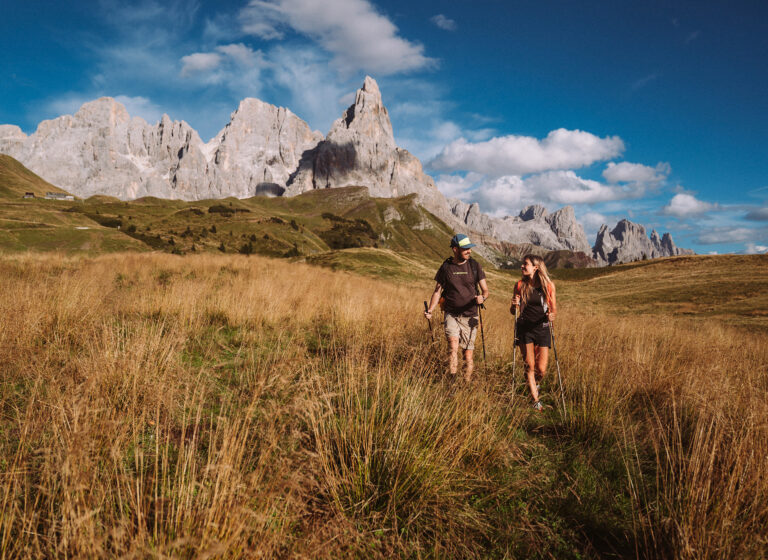
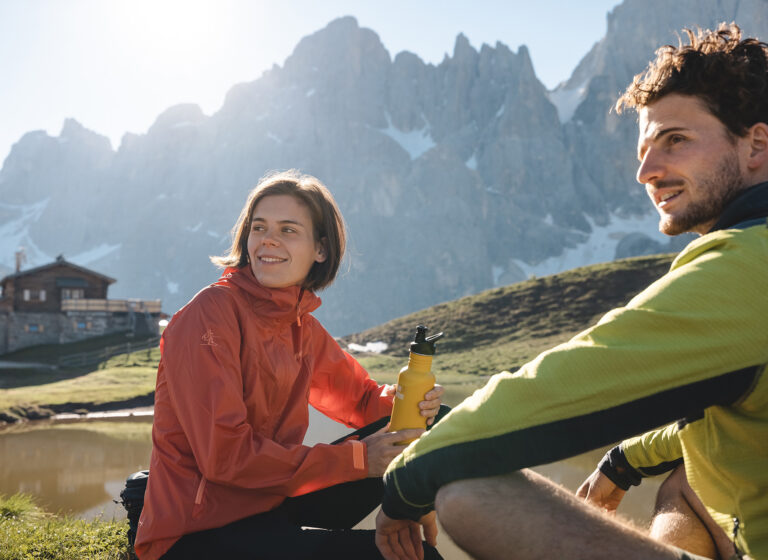
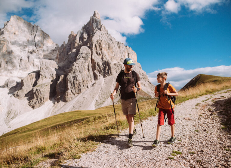
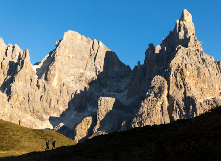
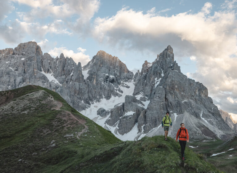
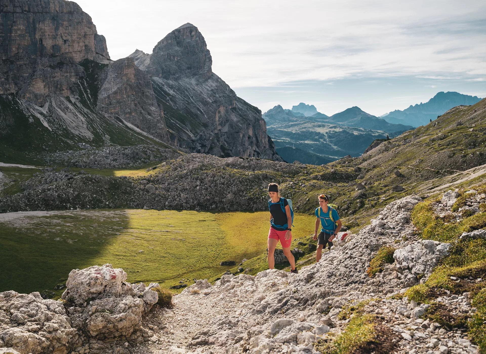
Experience this UNESCO World Natural Heritage on foot; majestic peaks, picturesque valleys, and pristine nature.
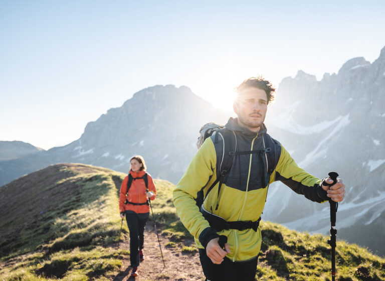
Enjoy the fresh mountain air, the spectacular views, and the unique flora and fauna.
Highlights
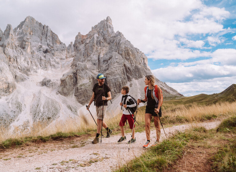
- Experience the impressive mountain world of the Pala group
- Admire the Rotwand in the UNESCO world heritage of the Dolomites
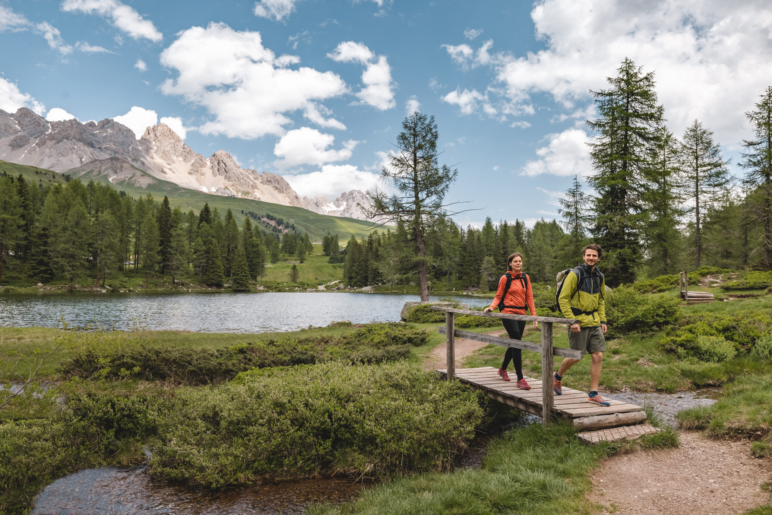
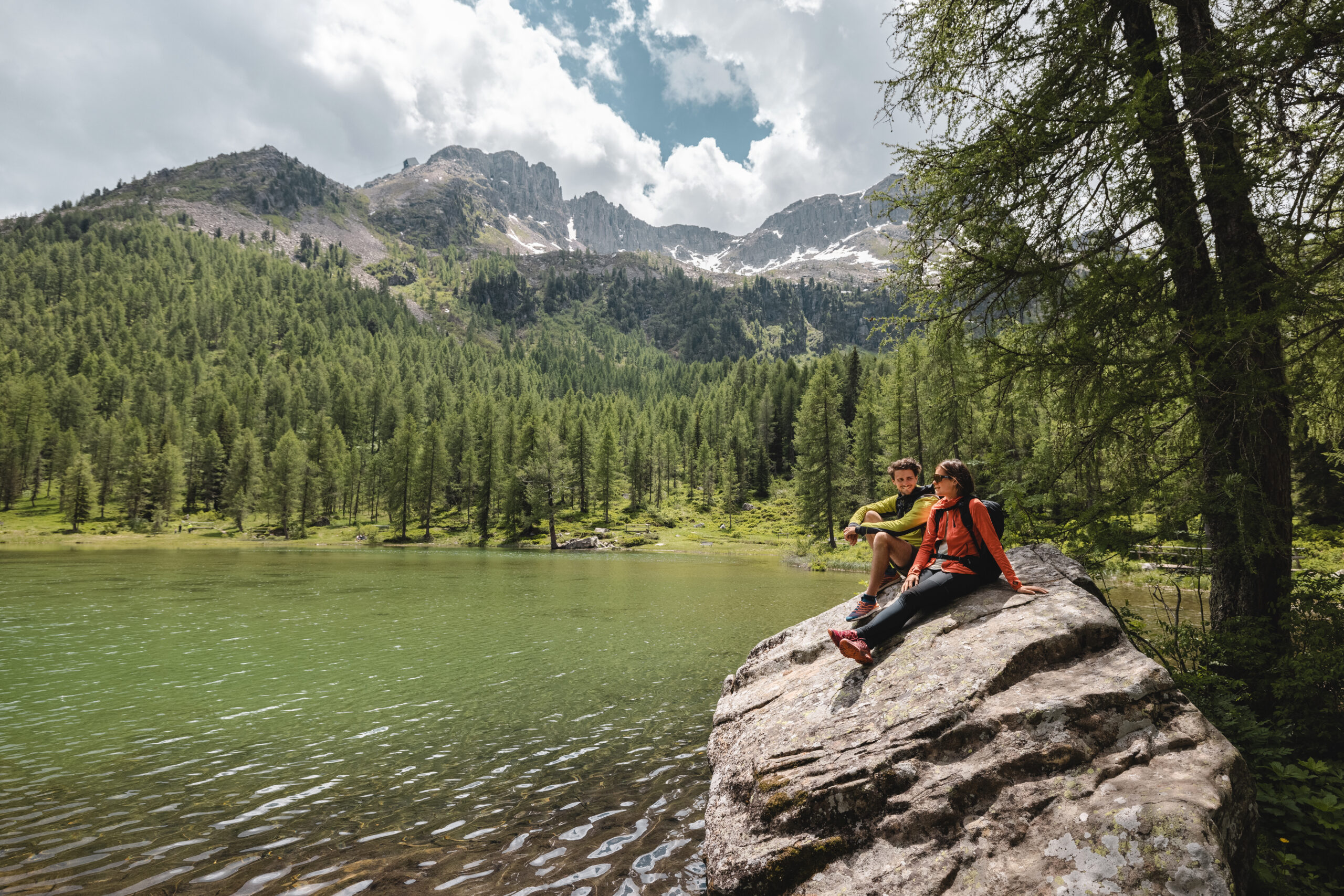
- Enjoy the view of Latemar and the deep green Lake Carezza
- Hike majestic peaks & picturesque valleys of Trentino
- Accommodation in selected 3- or 4-star hotels
Profile
- From accommodation to accommodation
- 6-day trekking tour
- From easy to challenging to alpine routes
- Good physical condition, sure-footedness, and a bit of a head for heights required
- With luggage transport
Characteristics of the Trip
Since this is an individual, unguided trip, you should already have experience in handling maps and route descriptions and possess a good sense of direction.
If, despite detailed travel documents, you ever find yourself unsure of the way, ask the locals or contact our partner via the provided emergency number.
An individual trip always includes the charm of an adventure.
Day 1 – Welcome to Trentino
Individual journey to the Fiemme Valley (Val di Fiemme). Either comfortably by public transport or by private car. The small, idyllic village, bordered by the Lagorai mountains in the south and by the Latemar group, which is part of the Dolomites, with around 4,500 inhabitants is the starting point for the trip.
Day 2 – From Predazzo to Lake Carezza via Passo Feudo
Accomodation
Meals
Breakfast, Dinner
Travel Distance & Time
2.5 km – 5 minutes
Distance
approx. 11.4 km
Walking Time
approx. 3:15 h
Ascent
approx. 194 m elevation gain
Descent
approx. 821 m elevation loss
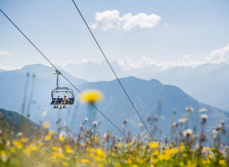
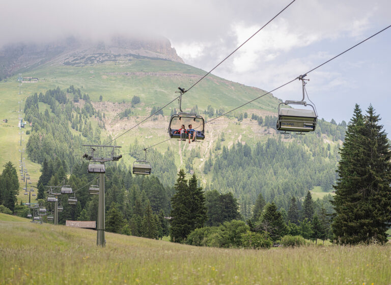
This option of the hike also starts at the top station of the chairlift at Passo Feudo and offers impressive views of the surrounding mountains right from the start, including the impressive peaks of the Latemar and Marmolata mountains.
The path leads gently downhill, past alpine pastures, such as the Ganischger Alm and Zischgalm, and on to the Reiterjoch. From there, the route runs through idyllic forest paths to the picturesque Lake Carezza. There, you can expect a fantastic panorama with the emerald-green surface of the water, framed by the Latemar group and the impressive west wall of the Rotwand (Roda di Vaèl) in the background.
Distance
approx. 12 km
Walkting Time
approx. 3:50 h
Ascent
approx. 288 m elevation gain
Descent
approx. 920 m elevation loss
This tour starts at the top station of the chairlift at Passo Feudo and ends at the picturesque Lake Carezza. At the beginning, the trail climbs steeply to the highest point of the tour at 2,331 m, where you can enjoy fantastic views of the surrounding mountain ranges, such as the Latemar and Marmolata. From there, the path follows downhill to the Oberholz mountain hut, before the path runs along the rocks of the Eggentaler Horn. After a rocky descent, you hike through a quieter, wooded area until you finally reach Lake Carezza.
Distance
approx. 11.3 km
Walking Time
approx. 5:20 h
Ascent
approx. 939 m elevation gain
Descent
approx. 1.059 m elevation loss
This challenging option starts at the top station of the chairlift at Passo Feudo, where you can enjoy impressive views of the surrounding peaks of the Dolomites. The path first leads steeply up to the Latemar hut, the only opportunity to stop on the tour.
From there, the path follows towards the Forcella del Campanili, where you enter the Via Ferrata dei Campanili del Latemar. After challenging climbing passages and impressive rocky landscapes, you reach the Bivacco Mario Rigatti hut. The descent is via the Latemarscharte and finally leads you steeply down to Malga Vallace, before you successfully complete the hike at the Passo di Carezza.
Day 3 – Along the Rotwand to San Pellegrino
Accomodation
3* Hotel in Fassa Valley
4* Latemar Hotel Suites & Spa
Meals
Breakfast, Dinner
Travel Distance & Time
5 km – 10 minutes
Distance
approx. 5.7 km
Walking Time
approx. 2:00 h
Ascent
approx. 192 m elevation gain
Descent
approx. 328 m elevation loss
This hike starts at the top station of the Paolina chairlift, where you can enjoy a cappuccino at the Paolina hut before setting off. You hike on a pleasant path towards the Rotwand hut and pass the impressive Christomannos monument.
From there, the path leads gently to the Rotwand hut with beautiful views of the surrounding Dolomites, including Marmolata and the Sella mountains. This is followed by a relaxed stretch along the Rotwand, until you descend via the Schafsteig to Pra Martin. At the end, you will reach the Negritella hut and the Ciampedie hut before the cable car takes you down into the valley.
Distance
approx. 12.9 km
Walking Time
approx. 5:00 h
Ascent
approx. 646 m elevation gain
Descent
approx. 781 m elevation loss
The moderate tour starts at the top station of the Paolina chairlift, from where it leads uphill to the Rotwand hut on an easy-to-walk-on path. On the way, you will pass the famous Christomannos monument before entering the scenic Hirzelweg.
The path runs gently along the rocks until you reach the Zigolade Pass. Once at the top, you will be rewarded with breathtaking views of the surrounding peaks. The descent leads through a stony cirque down to the Vaiolet hut, which offers you the opportunity of a well-deserved break. From here, you continue on a narrow path to the cable car station, which takes you down into the valley.
Distance
approx. 8.9 km
Walking Time
approx. 6:45 h
Ascent
approx. 1,033 m elevation gain
Descent
approx. 1,169 m elevation loss
You start at the top station of the Paolina chairlift and first set off with a great view of the Latemar and the Pala mountains. On a slightly ascending path, you will pass the impressive Christomannos monument, where you can enjoy the impressive views of the surrounding valleys.
The route continues along the contour lines to the Rotwand hut. From there, the steep path leads you up to the Vajolon Pass. This is where the exciting via ferrata begins, which takes you to the summit of the Rotwand via well-secured passages and rocky sections. On the summit, you can expect a 360-degree panoramic view of the Dolomites.
The descent takes you down challenging climbing passages, with the possibility to choose the Majare via ferrata for an additional challenge. Finally, you will reach the Ciampedie mountain station and can enjoy the last part of the tour.
Day 4 – The peaks of the Pala mountains
Distance
approx. 7.2 km
Walking Time
approx. 2:20 h
Ascent
approx. 198 m elevation gain
Descent
approx. 677 m elevation loss
The easy option starts at the Pellegrino Pass, where you first hike along the road towards Col Margherita. A beautifully laid out path leads you over a small bridge to the valley station of the cable car. From there, the route follows a wide path uphill until you turn left at a fork, in the direction of Pale del Cargol. Here, you can enjoy a great view of the northern Pala mountains.
You continue over a plateau of gneiss rock before reaching the Forcella di Predazzo. From there, the descent leads to the Passo di Valles, past the Pradazzo alpine pasture, until you finally arrive at the Passo di Valles.
Distance
approx. 15.7 km
Walking Time
approx. 5:25 h
Ascent
approx. 617 m elevation gain
Descent
approx. 1,169 m elevation loss
You start at the top station of the Col Margherita cable car and enjoy the first view of the southern Pala mountains. From there, a stony path leads you down to the Forcella di Predazzo. On the way, you will have fantastic views of Lake Cavia and the surrounding Dolomites.
After the forcella, you descend towards the Passo di Valles, past alpine meadows and a picturesque landscape. At the Valle Pass, you continue your tour and follow a narrow, alpine path to Forcella Venegia. There, a wide, high valley opens up in front of you with a view of the Pala mountains.
The descent takes you to Val Venegia, where a steeper section follows a quiet alpine pasture. Via winding roads, you reach the Segantini hut, with a view of the peaks of the Pala mountains. From there, you keep on hiking, past the Cervino hut, to the Rolle Pass, where your tour ends.
Distance
approx. 16.7 km
Walking Time
approx. 5:50 h
Ascent
approx. 711 m elevation gain
Descent
approx. 1,266 m elevation loss
The tour starts at the top station of the Col Margherita cable car with a great view of the Pala mountains. At first, a stony path leads you down about 300 metres of altitude to the Forcella di Predazzo. On the way, you will enjoy the view of Lake Cavia and the surrounding Dolomites.
The path continues down to the Passo di Valles where you climb a narrow and steep alpine path to Forcella Venegia. After this section, you will hike over a plateau to Passo di Venegiotta, the highest point of the tour. From there, you descend to Val Venegia and finally reach the Segantini hut.
On the “Cristo Pensante” path, you reach the peak of Castellazzo with its impressive statue and a magnificent view of the northern Pala mountains. The descent from Castellazzo is steeper, but leads you safely over switchbacks to the Passo Rolle, where the tour ends.
Day 5 – Passo Rolle and majestic views of the Lagorai mountains
Accomodation
Meals
Breakfast, Dinner
Travel Distance & Time
–
Distance
approx. 7.1 km
Walking Time
approx. 2:50 h
Ascent
approx. 369 m elevation gain
Descent
approx. 379 m elevation loss
You start at the Passo Rolle and first follow the motorway, located below, to the Malga Fosse di Sopra. There, a sign leads you to the “Sentiero dei Finanzieri”, which leads you down a few metres in altitude. You hike over alpine meadows until you reach a larch forest.
From here, you continue uphill along the west side of the Cimon della Pala until you reach the striking “Rotwand – Roda di Coèl“. From here, the path continues without great differences in altitude, with beautiful views of the valley and the Lagorai group. Finally, you descend to the Ristorante Col Verde, where you can comfortably end your tour.
Distance
approx. 9.5 km
Walking Time
approx. 4:25 h
Ascent
approx. 910 m elevation gain
Descent
approx. 242 m elevation loss
The tour starts at the Passo Rolle and leads you through an impressive landscape with views of the Lagorai mountains and the majestic Cimon della Pala. After a moderate ascent, you will reach the “Rotwand – Roda di Coèl“, from where you can enjoy fantastic views of the surrounding panorama.
The path continues to the Rosetta Pass, past impressive rock walls and alpine flora. At the Rosetta Pass, you can see the impressive cirque plateau of the Pala mountains. The final ascent to Cima Rosetta rewards you with a breathtaking 360-degree view of the Dolomites, including the Sella mountains, the Latemar, and the peaks of the Brenta massif.
At the end of the tour, you will reach the top station of the cable car and can return to the valley in a relaxed manner.
Distance
approx. 10.4 km
Walking Time
approx. 7:40 h
Ascent
approx. 1.429 m elevation gain
Descent
approx. 759 m elevation loss
This difficult option starts at the Passo Rolle and first leads you through the alpine landscape to the Malga Fosse di Sopra, with magnificent views of the Cimon della Pala. After a steady ascent to the “Rotwand – Roda di Coèl“, you can enjoy a breathtaking view of the San Martino valley and the Lagorai mountains.
The route runs below impressive rock walls and finally leads to the Rosetta Pass via more demanding passages with ropes. The highlight of the tour is the summit of the Cima Rosetta (2,746m), from which you can enjoy a fantastic panoramic view of the Dolomites, including the Latemar, the Rosengarten, and the Sella mountains.
After the descent, the cirque plateau of the Pala mountains waits for you, a unique geological experience. The long descent down to San Martino di Castrozza runs along a historic military path from the First World War.
This section is characterised by countless impressive rock formations, and a tunnel that offers you breathtaking views. Part of the descent leads through the forest and finally ends at the valley station of the Colverde cable car.
Day 6 – End at the Paneveggio Nature Park
Accommodation
End of trip
Meals
Breakfast
Travel Distance & Time
15 km – 25 minutes
Distance
approx. 8.2 km
Walking Time
approx. 2:25 h
Ascent
approx. 102 m elevation gain
Descent
approx. 423 m elevation loss
You start your tour at the top station of the Colbricon Express and first enjoy the beautiful view of the Pala mountains. From there, you cross the slope and follow a gently ascending path to the Passo del Colbricon. After a short ascent, you will reach the Rifugio Laghi di Colbricon, idyllically located on the lake, where you can stop and enjoy the tranquility of nature.
After your break, you can walk around the lake before continuing your way into the dense forest of the Paneveggio Nature Park. The path leads through picturesque forest landscapes and past the former Malga Colbricon.
Finally, you will reach a wide forest road, which takes you over an impressive bridge to your destination at the tourist information in Paneveggio. The tour offers great views, quiet lakes, and the opportunity to experience the diverse nature of the national park.
Distance
approx. 10.6 km
Walkting Time
approx. 3:35 h
Ascent
approx. 476 m elevation gain
Descent
approx. 422 m elevation loss
This moderate option starts at the valley station of the Colbricon Express and first leads you to a protected marshland landscape, before you gradually gain height and hike through a beautiful forest.
After a moderate ascent, you will reach the Laghi di Colbricon, an idyllic lake surrounded by the majestic peaks of the Dolomites. Here you can stop at the Rifugio Laghi di Colbricon and enjoy the tranquility of nature. From here, you have a breathtaking view of the Pala mountains to the southeast and the Colbricon massif to the west.
After your stop-off, the path continues through the extensive forests of the Paneveggio Nature Park. You pass by the former Malga Colbricon and hike through a quiet, wooded area until the path ends in a forest road. The descent finally takes you over an impressive bridge to the tourist information in Paneveggio, your destination.
Distance
approx. 10.7 km
Walking Time
approx. 5:35 h
Ascent
approx. 1.145 m elevation gain
Descent
approx. 1.008 m elevation loss
This demanding tour starts at the top station of the Colbricon Express with a wonderful view of the Pala mountains. You climb steeply through larch forests to the “Punta Ces” mountain station and reach the Forcella di Ceremana, with a view of the remains of an old rock glacier.
The path leads over the “Sentiero Achille Gadler – Translagorai” with spectacular views towards the Passo del Colbricon and the Laghi di Colbricon, where a stop at the refuge is possible. After the break, you will continue your hike to the top of the Cavallazza, past historic relics from the First World War. Finally, you will reach the Tognazza summit, from where you will enjoy fantastic views of the Dolomites before the descent to the Rolle Pass.
Inclusions
- 5 nights in selected accommodations, rooms with bath/shower and toilet
- 5x breakfast, 5x dinner
- Luggage transport from accommodation to accommodation
- Transfers as per the itinerary
- App access with GPS tracks for the tours and detailed route descriptions and maps
- Dolomiti Summer Point Value Card with 1200 units
- Voucher for travel literature
- ASI tour book
- Carbon offset for all travel emissions
Not included
- Tourist tax in the accommodations: approx. EUR 2.50–5.00 per person per night. Payable directly on site.
Frequently Asked Questions about the Trip
Accommodation Information
You can decide when booking this trip whether you prefer to stay in a 3* or 4* hotel.
Difficulty Level 2: Easy (2 Peaks)
Low requirements for fitness and physical condition characterize this difficulty level. Trips in this category are especially suitable for beginners in the active holiday sector.
Requirements
Enjoyment and fun in nature and physical activity
Recommended Preparation
Once a week, brisk walking/Nordic walking for about an hour at the beginning, extended walks 2-3 months before departure
Ascents and Descents
Ascents and descents up to 400 meters in altitude; occasionally more
Walking Time
Up to 4 hours
Difficulty Level 3: Moderate (3 Peaks)
For these tours, a moderate level of fitness is required. Tours of this difficulty level are easily manageable for healthy individuals with normal fitness.
Requirements
Experience in the respective activity area is advantageous.
Recommended Preparation
2 times a week brisk walking/Nordic walking in hilly terrain, 2-3 months before departure.
Ascents and Descents
Up to 600 meters in elevation; occasionally more.
Walking Times
Up to 6 hours
Difficulty Level 4: Challenging (4 Peaks)
For these trips, good to excellent stamina is required. The tours can sometimes span the entire day.
Requirements
Pre-existing knowledge in the respective activity area
Recommended Preparation
2-3 times a week of active endurance training (cycling, running, aerobics, etc.) at least 6 months before departure
Ascents and Descents
Up to 1000 meters of elevation gain; occasionally more
Walking Time
Up to 8 hours
Arrival
TRAIN
You can take the train to the Brixen or Bozen train station, and then continue by bus to Kastelruth. You can find information about the timetable and schedules at the following links:
CAR
For the quickest route to the starting point, it’s best to enter the address of the meeting point into your trusted navigation system. You can find the address in the FAQs or in the travel documents. Please note that in the summer months, there is a restriction on highway exits in Austria, and a vignette is required.
Travel luggage
We arrange the transportation of your large luggage from accommodation to accommodation, allowing you to enjoy the tours with light luggage. Please try to keep the weight and volume of this additional luggage to a minimum so that the transport is not overly “burdened” (1 piece with a maximum of 20 kg per person). Don’t forget the ASI luggage tags! Please do not use a hard-shell suitcase or trolley!
Required Equipment
- Daypack with approximately 30 liters of capacity
- Travel bag for luggage transport
- Ankle-high hiking boots with a profile sole
- Water bottle with at least 1-liter capacity
- Practical hiking clothing (T-shirts, trekking pants, hiking socks)
- Warm additional clothing (sweater, hat, gloves)
- Anorak (with a hood) and overpants, windproof and waterproof (e.g., Goretex)
- Sun protection (head covering, sunglasses, sunscreen)
- Toiletries and personal medications
- Via ferrata equipment
Additionally recommended equipment
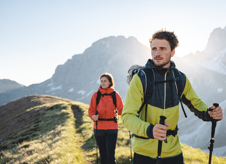
- Telescopic hiking poles as walking aids
- Swimwear
- Functional underwear/clothing (breathable)
- Rain cover for the backpack
- Comfortable clothing and shoes
- Camera equipment, binoculars
- Pocketknife
- Snacks (e.g., granola bars), drink powders, etc.
Booking with ASI Reisen
ASI Reisen is the official booking center for the Dolomites Ronda. In just a few steps, you can book your perfect tour with peace of mind. We organize accommodation, luggage transport, trip notes, optional guides, and a 24/7 service number for you.
Since 1963, the Tyrolean family business has been offering sustainable active and adventure trips. These trips take you to more than 100 countries around the world, from gourmet regions to high alpine areas, where fresh air, the sounds of nature, and narrow paths await.
