Stage 1
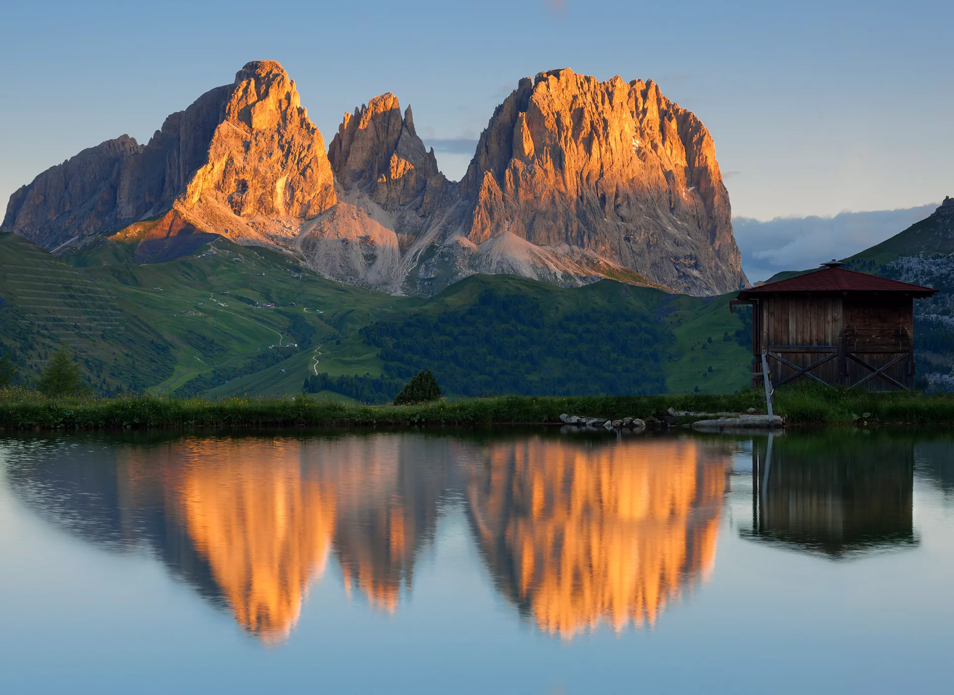
Across Alpine Meadows to Plattkofel
From: Seiser Alm
To: Campitello di Fassa
Moderate Option
10 km
approx. 4:00 h
700 meters of elevation gain
150 meters of elevation gain
Easy Option
7 km
approx. 3:00 h
500 meters of elevation gain
200 meters of elevation gain
Challenging Option
14 km
approx. 7:00 h
1,530 meters of elevation gain
200 meters of elevation gain
Stage 2
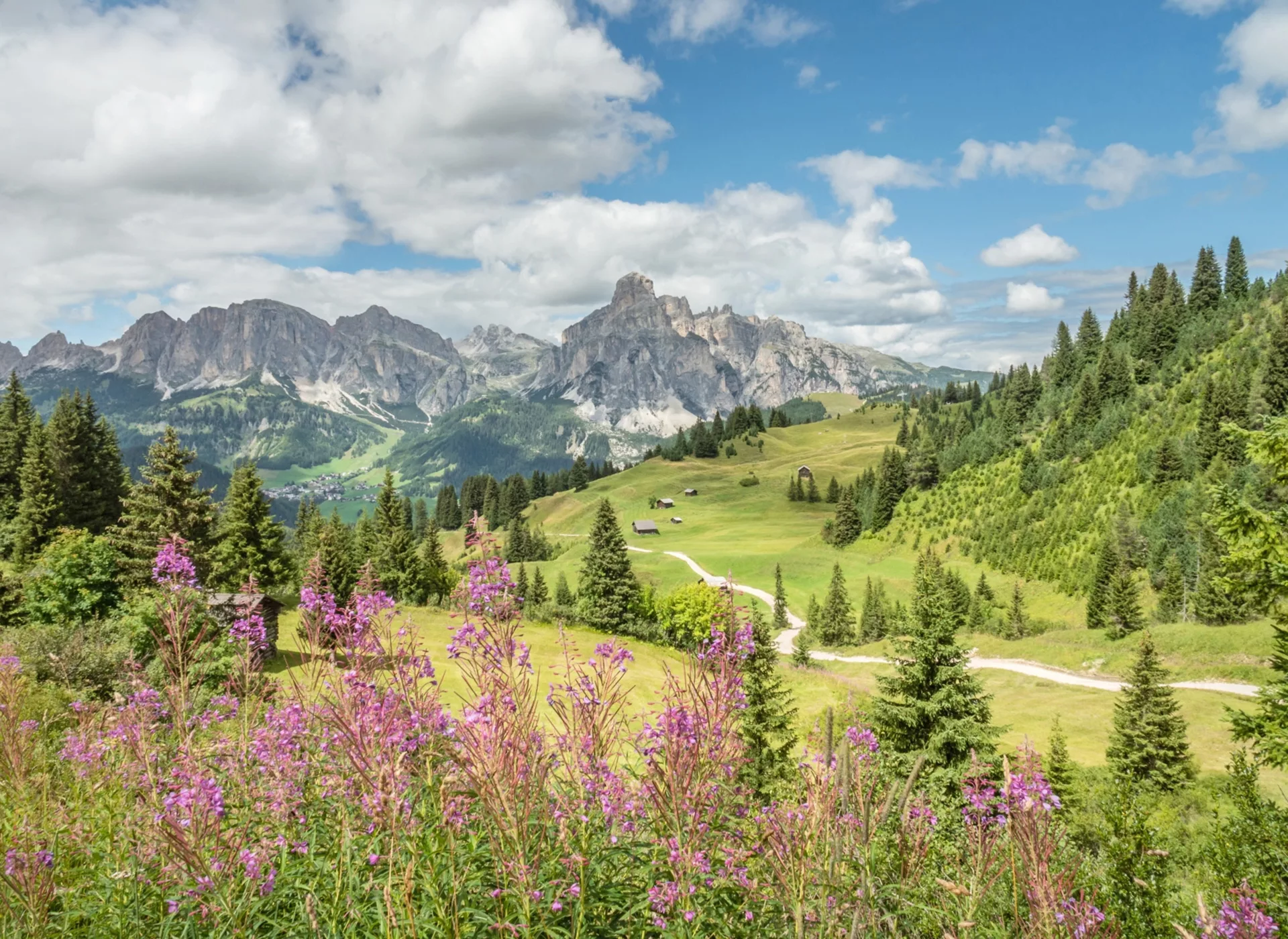
Hiking in the Puez-Geisler Nature Park
From: Campitello di Fassa
To: Stern
Moderate Option
8 km
approx. 3:30 h
500 meters of elevation gain
750 meters of elevation gain
Easy Option
6 km
approx. 2:00 h
200 meters of elevation gain
450 meters of elevation gain
Challenging Option
14 km
approx. 6:00 h
Stage 3
Discover the Heiligkreuzkofel Group in the Gadertal Valley
From: Stern
To: Corvara
Moderate Option
13 km
approx. 5:00 h
600 meters of elevation gain
1,150 hm
Easy Option
7 km
approx. 2:00 h
50 meters of elevation gain
550 meters of elevation gain
Challenging Option
17 km
approx. 7:30 h
1,150 meters of elevation gain
1,650 meters of elevation gain
Stage 4
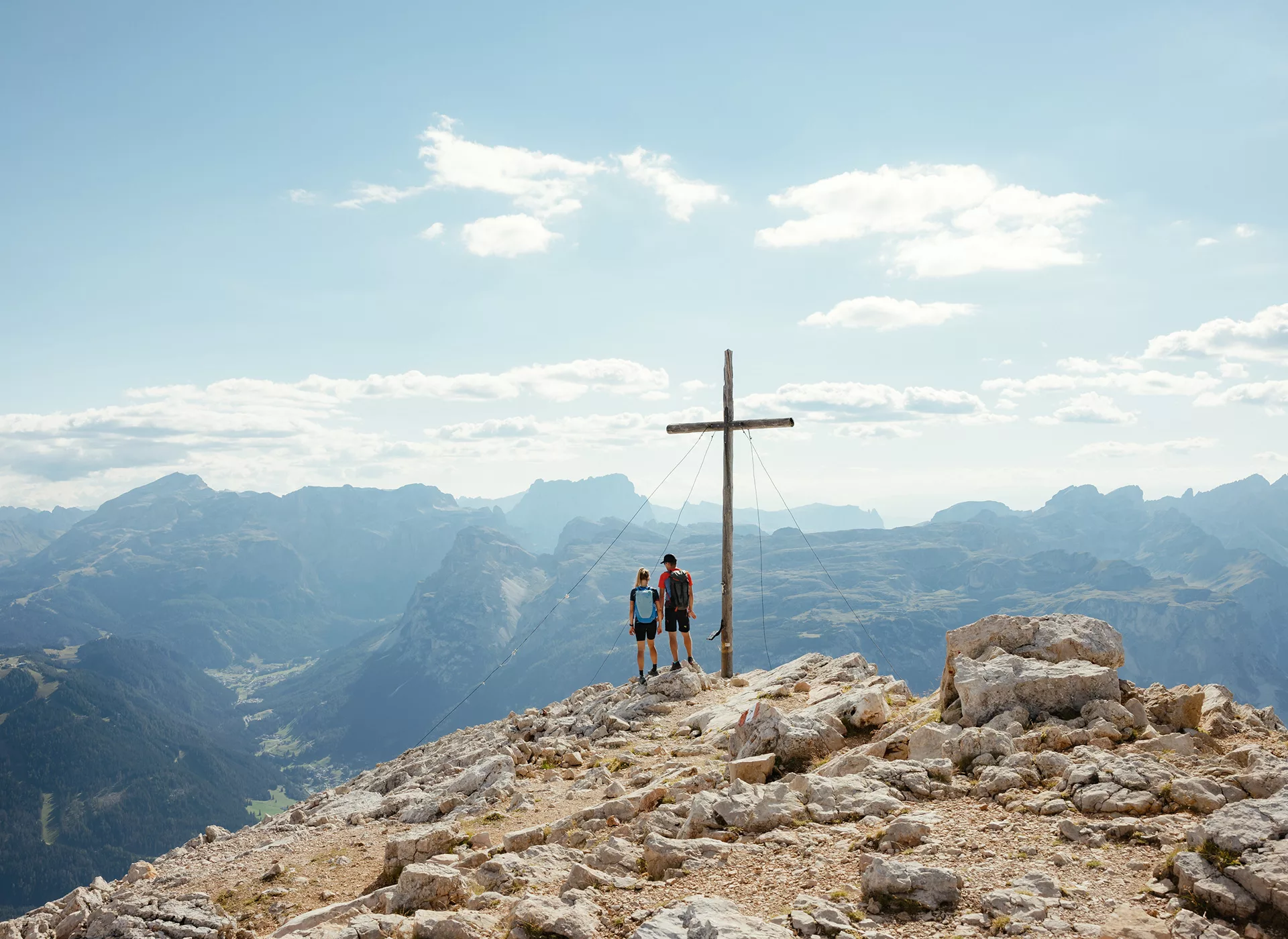
In the Heart of the Dolomites
From: Corvara
To: Pozza di Fassa
Moderate Option
7 km
approx. 4:30 h
600 meters of elevation gain
900 meters of elevation gain
Easy Option
8 km
approx. 2:30 h
250 meters of elevation gain
200 meters of elevation gain
Challenging Option
7 km
approx. 5:30 h
800 meters of elevation gain
350 meters of elevation gain
Stage 5
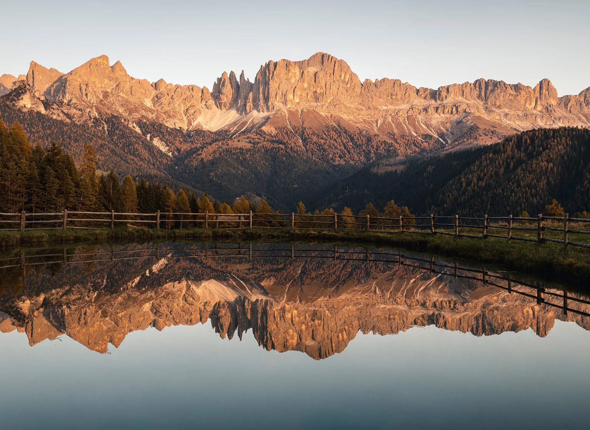
The Rose Garden – In the Realm of King Laurin
From: Pozza di Fassa
To: Seiser Alm
Moderate Option
9 km
approx. 4:00 h
550 meteres of elevation gain
200 meters of elevation gain
Easy Option
6 km
approx. 2:45 h
370 meters of elevation gain
220 meters of elevation gain
Challenging Option
9 km
approx. 5:00 h
850 meters of elevation gain
500 meters of elevation gain
Booking with ASI Reisen
ASI Reisen is the official booking center for Dolomites Ronda. You can book your perfect tour with peace of mind in just a few steps. We organize accommodation, luggage transport, trip notes, possibly a guide, and a 24/7 service number for you.
Since 1963, the Tyrolean family business has been offering sustainable active and adventure trips. These trips take you to more than 100 countries around the world, from gourmet regions to high alpine areas. Where fresh air, the sounds of nature, and narrow paths await.
