Dolomites Ronda
Individual Trekking Trip
Description
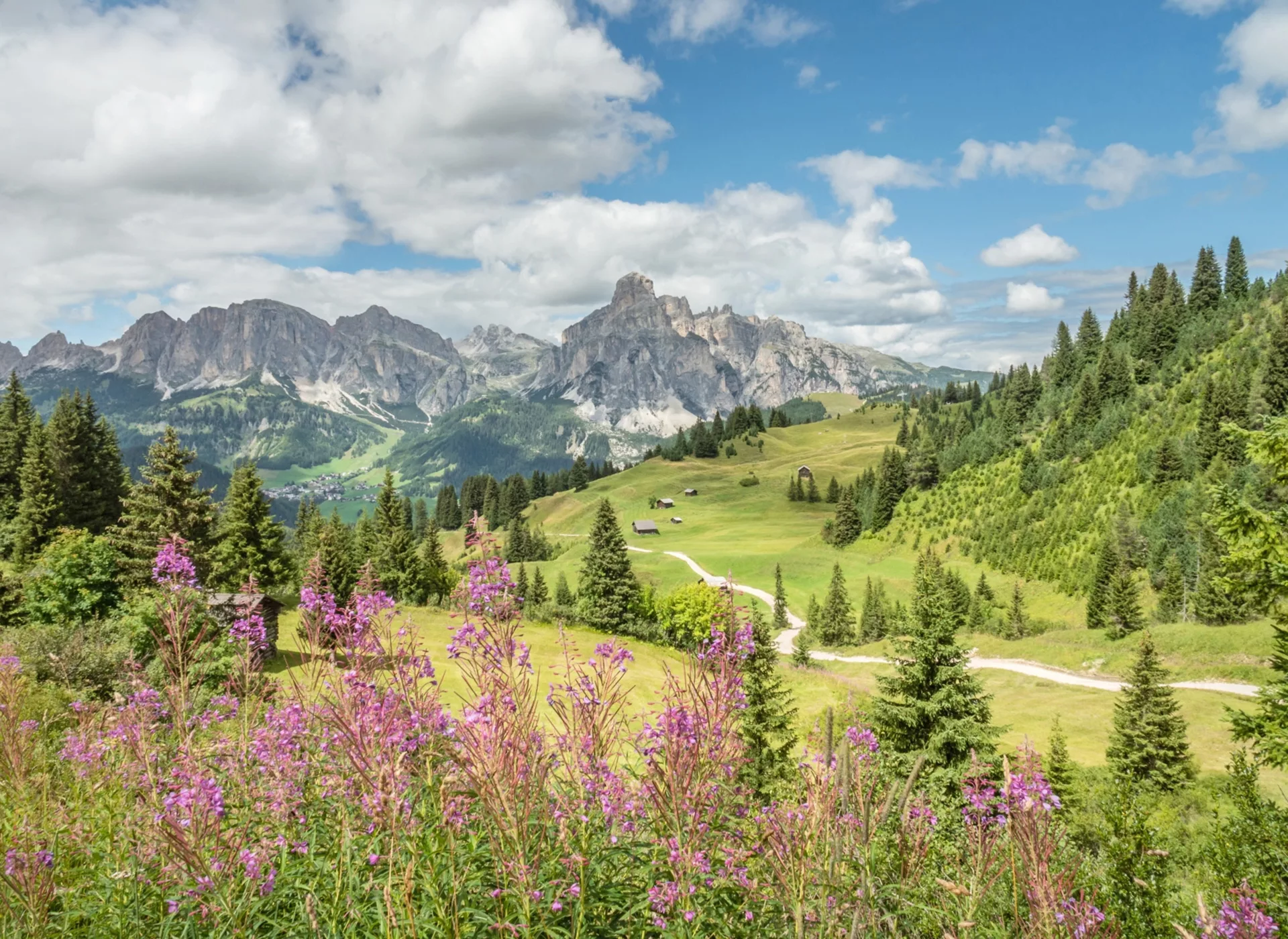
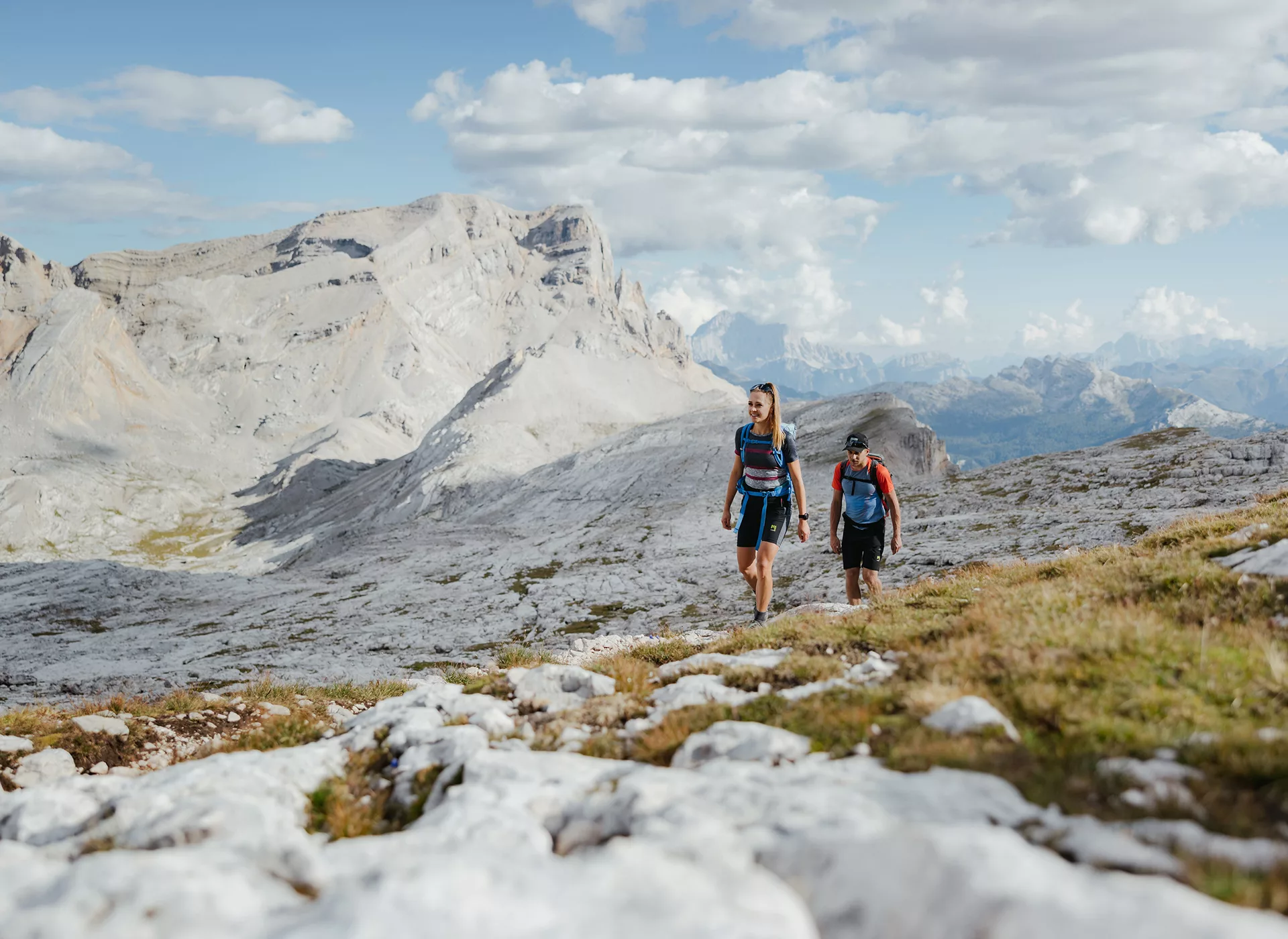
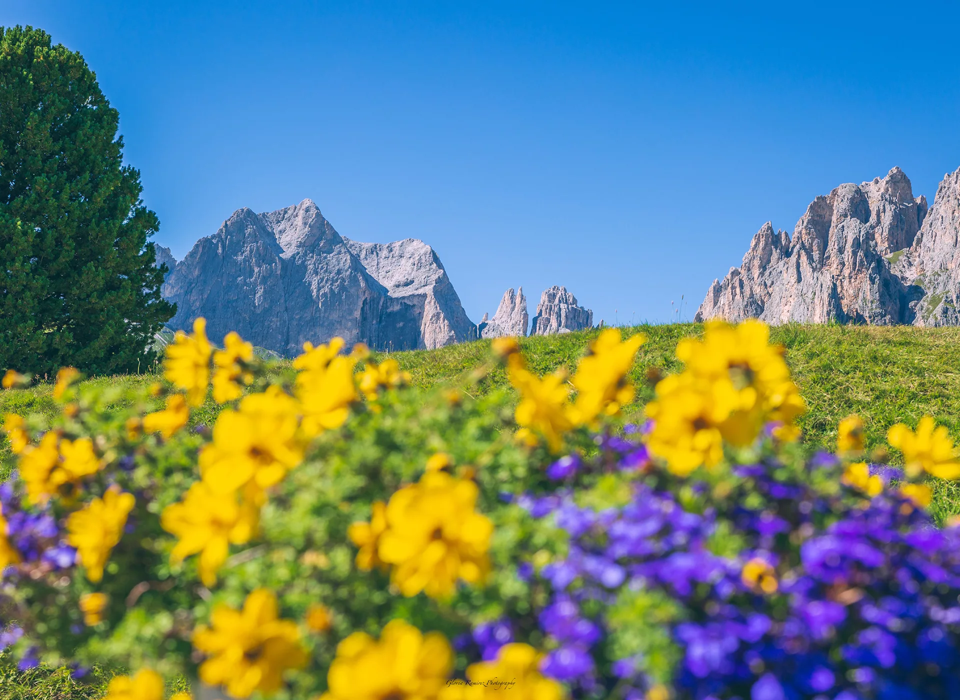
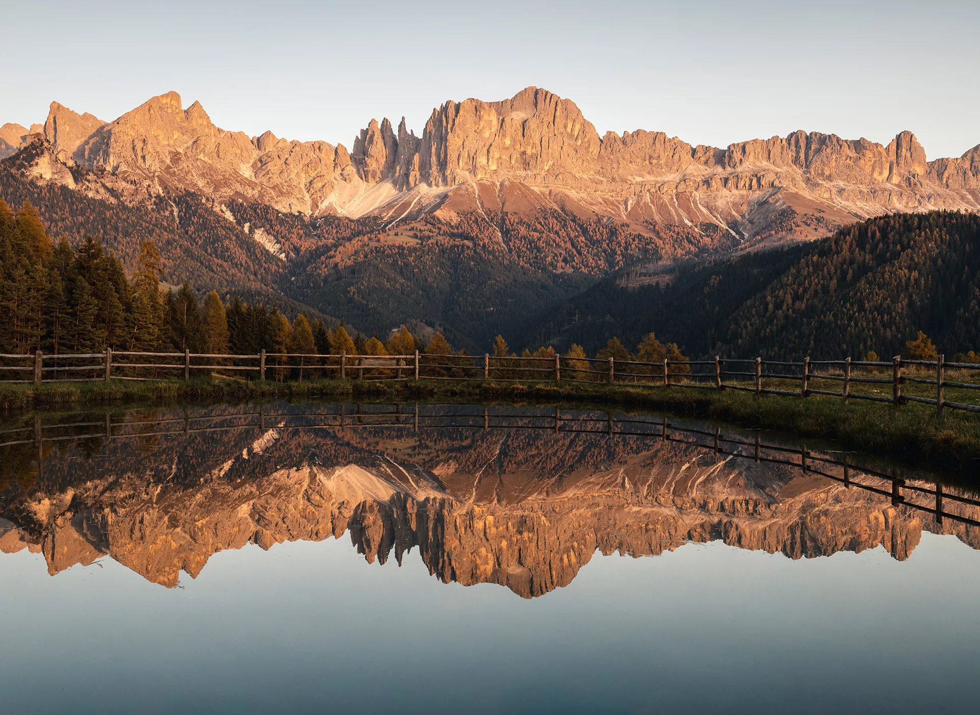
Experience this UNESCO World Natural Heritage on foot; majestic peaks, picturesque valleys, and pristine nature.
Enjoy the fresh mountain air, the spectacular views, and the unique flora and fauna.
Highlights
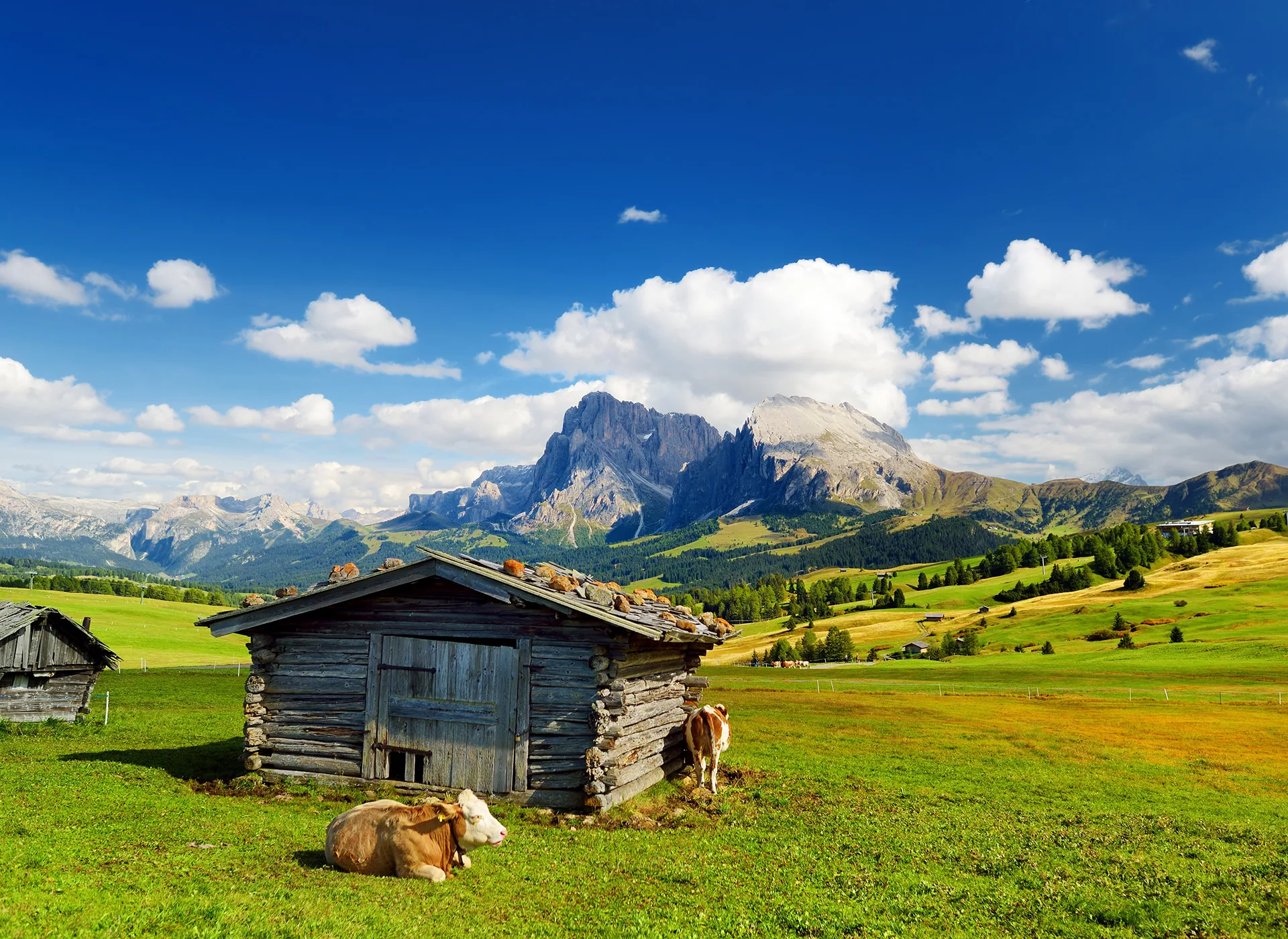
- Experience the largest high-altitude pasture in Europe
- Cross the flower meadows of the Pralongia plateau
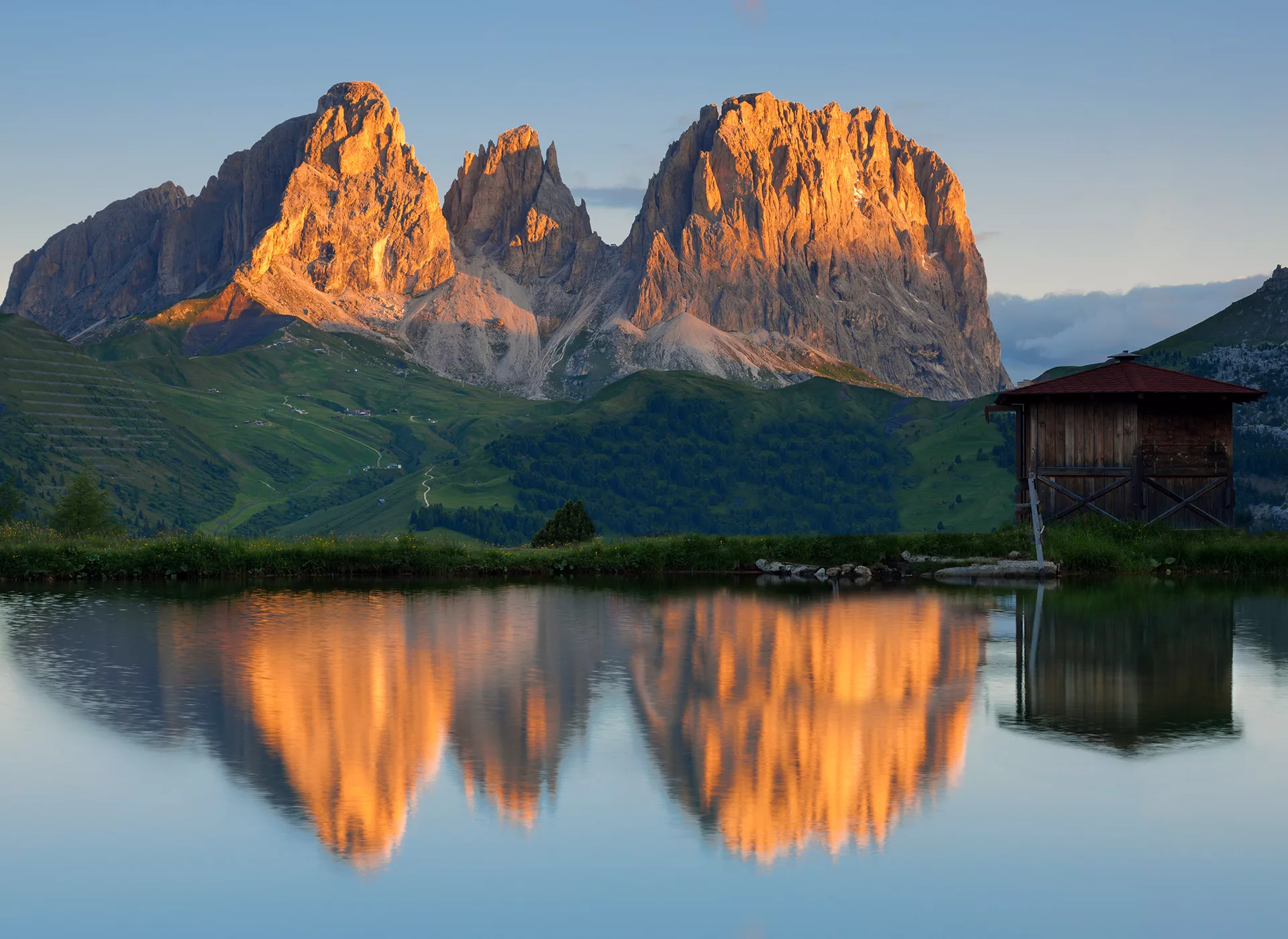
- Marvel at the Langkofel in the UNESCO World Natural Heritage Dolomites
- Hike at the foot of the mighty Sasso della Croce
Profile
- From accommodation to accommodation
- 6-day trekking tour
- From easy to challenging to alpine routes
- Good physical condition, sure-footedness, and a bit of a head for heights required
- With luggage transport
Characteristics of the Trip
Since this is an individual, unguided trip, you should already have experience in handling maps and route descriptions and possess a good sense of direction.
If, despite detailed travel documents, you ever find yourself unsure of the way, ask the locals or contact our partner via the provided emergency number.
An individual trip always includes the charm of an adventure.
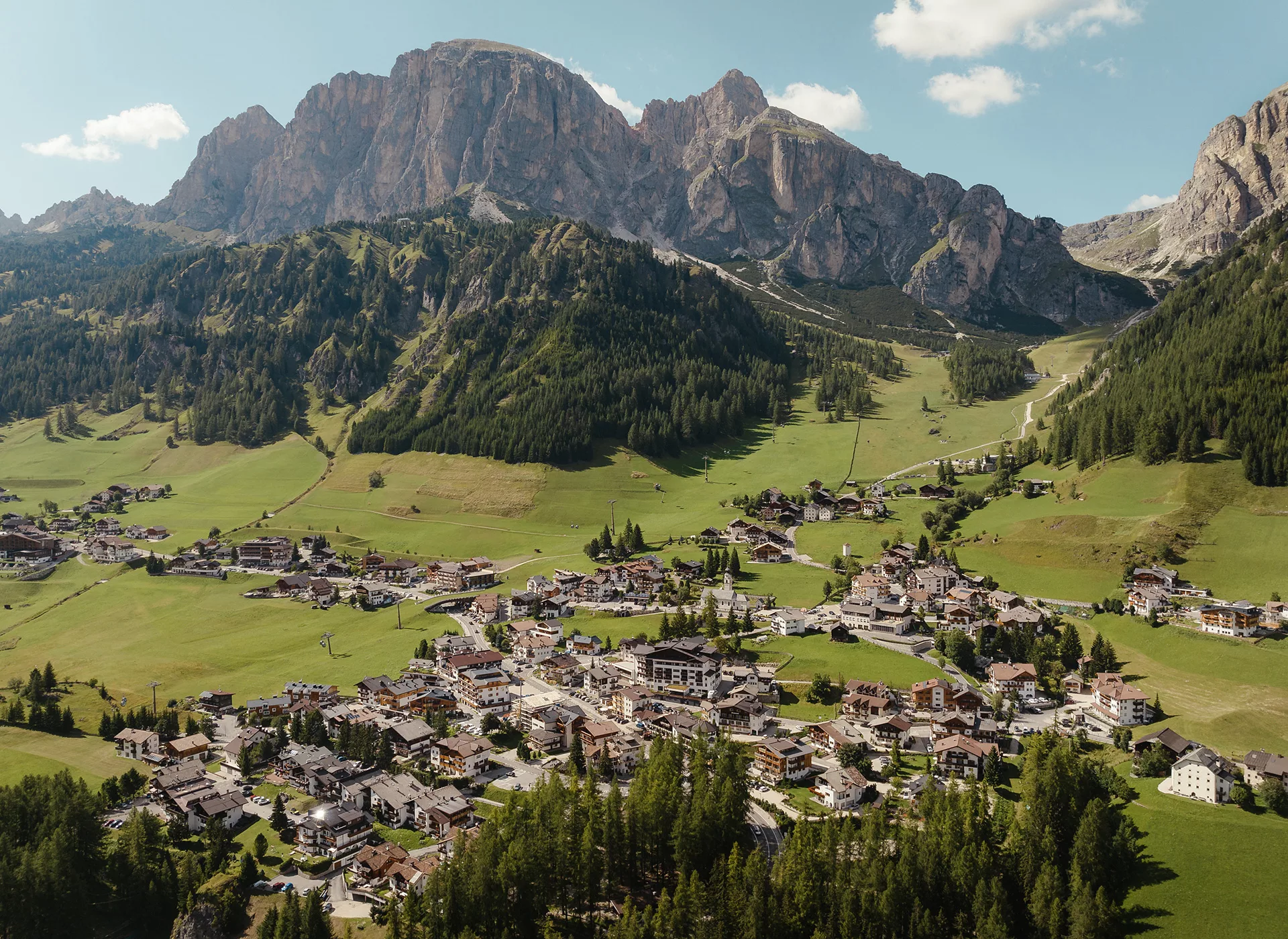
Day 1 – Welcome to the Seiser Alm
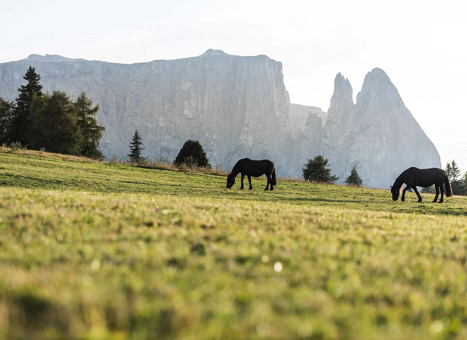
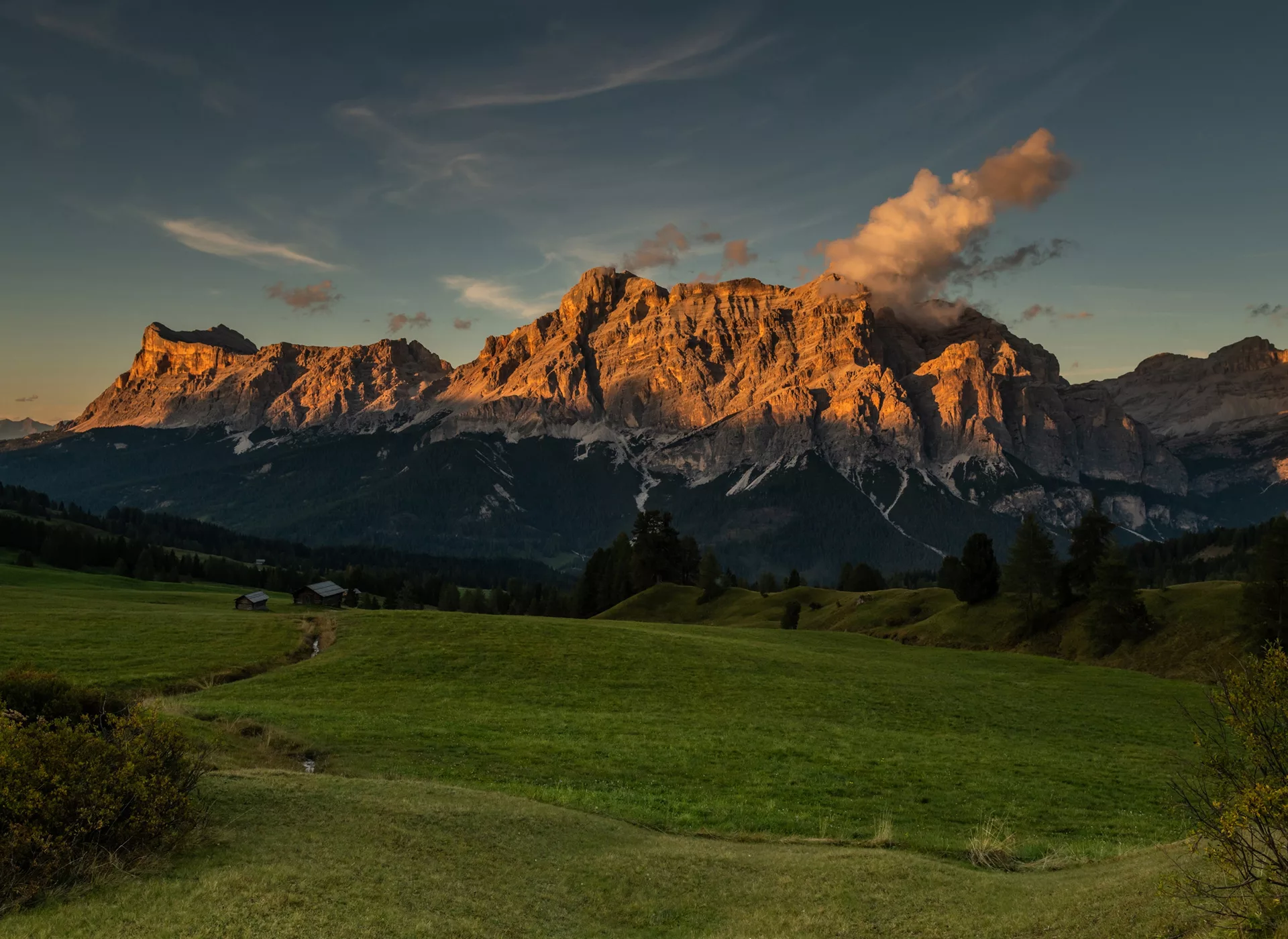
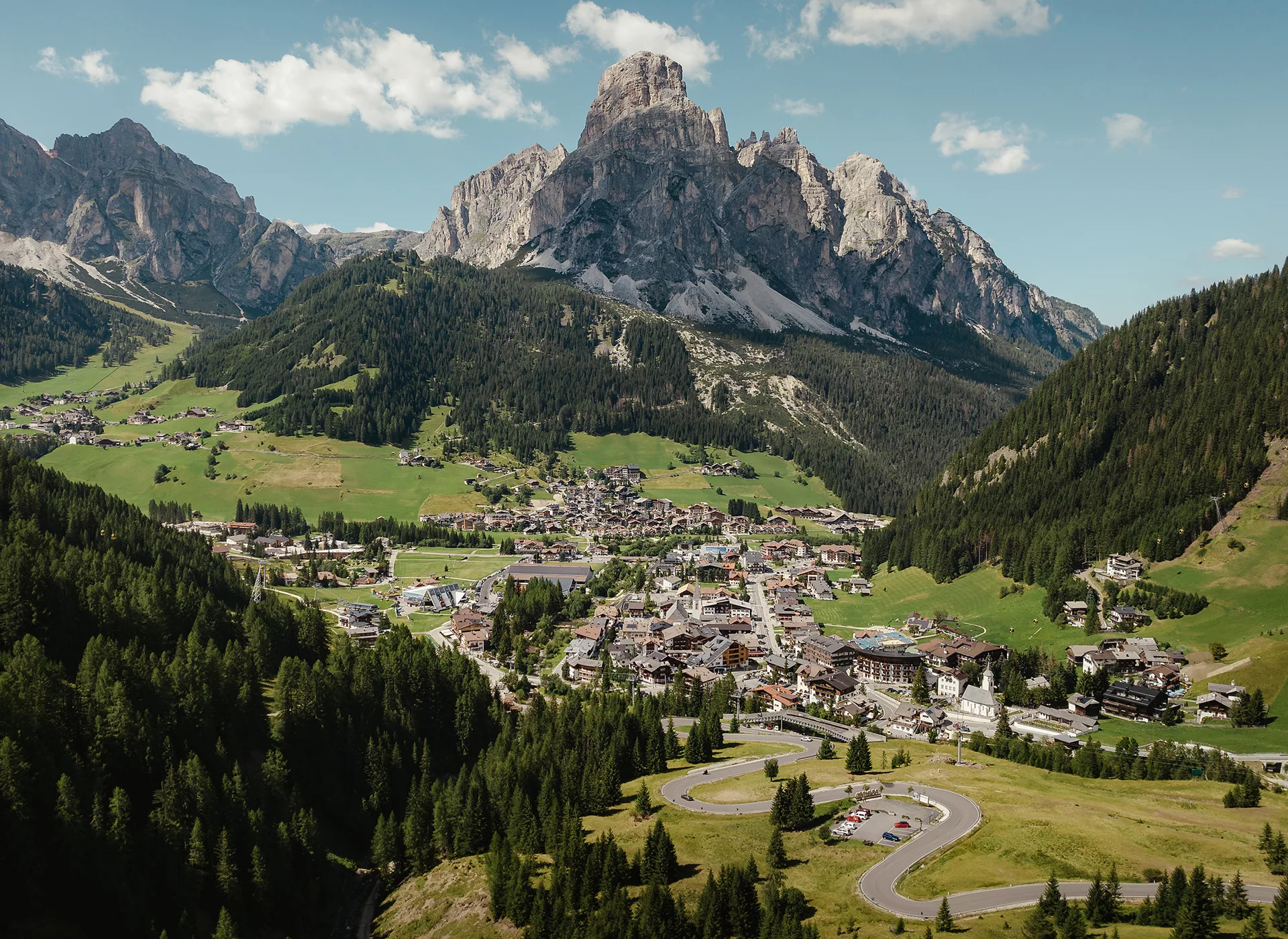
Individual arrival at the Seiser Alm. Either comfortably by public transport or with a private car. (Details under the section Arrival). The Seiser Alm is the largest high mountain plateau in Europe and already offers a first impression of the unique setting that will accompany you in the coming days.
Day 2 – Across Alpine Meadows to the Plattkofel
Distance
approx. 7 km
Walking Time
approx. 3:00 h
Ascent
approx. 500 m elevation gain
Descent
approx. 200 m elevation loss
You can comfortably reach the Williamshütte (2,098m) by taking the Alm bus and the chairlift, from where your hike begins. You walk along a wide driving path towards the Refuge Plattkofelhütte (2,305m). Along the way, breathtaking views of the Seiser Alm and the Schlern are offered. Upon reaching the Refuge Plattkofelhütte at 2,305m, your view is directed towards the Marmolata (3,343m), the highest and only glacier-covered peak massif in the Dolomites. Along the Friedrich August Weg, you hike to the Col Rodella mountain station, from where you take the cable car to Campitello di Fassa. Once in the valley, it is only a few minutes to your hotel.
Distance
approx. 10 km
Walkting Time
approx. 4:00 h
Ascent
approx. 700 m elevation gain
Descent
approx. 150 m elevation loss
You can comfortably reach Saltria by the Alm bus, from where you hike to the Fassa Joch and the Refuge Plattkofelhütte at 2,305m. Once there, your view is directed towards the Marmolata (3,343m), the highest and only glacier-covered peak massif in the Dolomites. Along the Friedrich August path, you hike to the Col Rodella mountain station, from where you take the cable car to Campitello di Fassa. Once in the valley, it is only a few more minutes to your hotel.
Distance
approx. 14 km
Walking Time
approx. 7:00 h
Ascent
approx. 1,530 m elevation gain
Descent
approx. 200 m elevation loss
You can easily get to Saltria by the Alm bus, from where you have a first beautiful view of the Plattkofel/Sasso Piatto at 2,950m. First, follow the markers to the Fassa Joch and the Refuge Plattkofelhütte at 2,305m. Shortly after the hut, the path leads you first over an earthy trail, then over a gravel path mixed with rocks, up to the summit. Along the way, you’ll continuously encounter grandiose views and photo opportunities in all directions. Particularly, the view southeast towards the Marmolata/Marmolada (3,343m), the highest and only glacier-covered peak massif in the Dolomites, dominates the scenery. The descent is the same as the ascent route to the Refuge Plattkofelhütte and along the Friedrich August path, you walk to the Col Rodella mountain station, from where you take the cable car to Campitello di Fassa. Once in the valley, it is only a few more minutes to your hotel.
Day 3 – On the Trail in the Puez-Odle Nature Park
Accomodation
Meals
Breakfast, Dinner
Travel Distance & Time
2 km – 5 minutes
Distance
approx. 6 km
Walking Time
approx. 2:00 h
Ascent
approx. 200 m elevation gain
Descent
approx. 450 m elevation loss
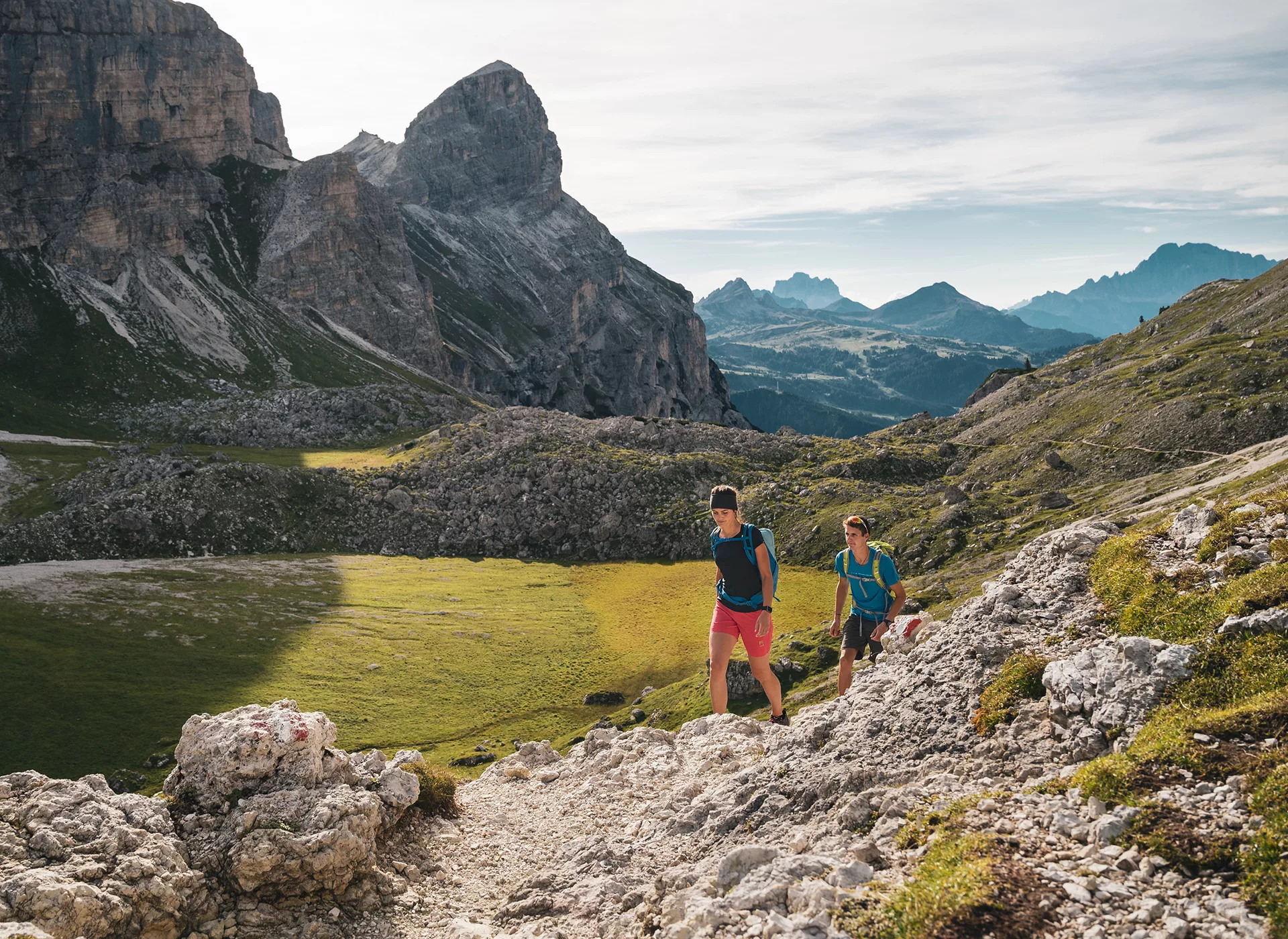
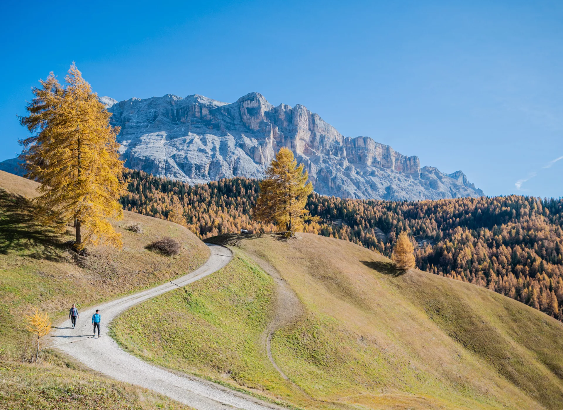
After breakfast, you will take a shuttle bus up to the Passo Gardena, the gateway to the Puez-Odle Nature Park, where you will spend your day. Here, you can find all the typical rock types, sediment layers, and weathering forms of the Dolomites, as well as the famous Dolomite peaks such as Sass Rigais, Sass de Putia, Cir Peaks, Sassongher, or the Gardenaccia high plateau. Karstified high plateaus, steeply rising rock walls, fertile alpine meadows, deep valleys, and dense mountain forests create a diverse landscape. You can return to the valley using the Colfosco cable car and take the public bus back to your hotel.
Distance
approx. 8 km
Walking Time
approx. 3:30 h
Ascent
approx. 500 m elevation gain
Descent
approx. 750 m elevation loss
After breakfast, you will take a shuttle bus up to the Passo Gardena, the gateway to the Puez-Odle Nature Park, where you will spend your day. Here, you will find all the typical rock types, sediment layers, and weathering forms of the Dolomites, as well as the famous Dolomite peaks such as Sass Rigais, Sass de Putia, Cir Peaks, Sassongher, or the Gardenaccia high plateau. Karstified high plateaus, steeply rising rock walls, fertile alpine meadows, deep valleys, and dense mountain forests create a diverse landscape, all awaiting you today. You can return to the valley using the Colfosco cable car and take the public bus back to your hotel.
Distance
approx. 14 km
Walking Time
approx. 6:00 h
Ascent
approx. 800 m elevation gain
Descent
approx. 1,100 m elevation loss
After breakfast, you will take a shuttle bus up to the Passo Gardena, the gateway to the Puez-Odle Nature Park, where you will spend your day. Here, you will find all the typical rock types, sediment layers, and weathering forms of the Dolomites, as well as the famous Dolomite peaks such as Sass Rigais, Sass de Putia, Cir Peaks, Sassongher, or the Gardenaccia high plateau. Karstified high plateaus, steeply rising rock walls, fertile alpine meadows, deep valleys, and dense mountain forests create a diverse landscape. You will ascend to Piz de Gherdenacia, which stands at an elevation of 2,673 meters. You can comfortably return to the valley using the Gardenaccia chairlift and take the public bus back to your hotel.
Day 4 – Discover the La Crusc Group in the Val Badia (Gadertal)
Accommodation
Meals
Breakfast, Dinner
Travel Distance & Time
12 km – 30 minutes
Distance
approx. 7 km
Walking Time
approx. 2:00 h
Ascent
approx. 50 m elevation gain
Descent
approx. 550 m elevation loss
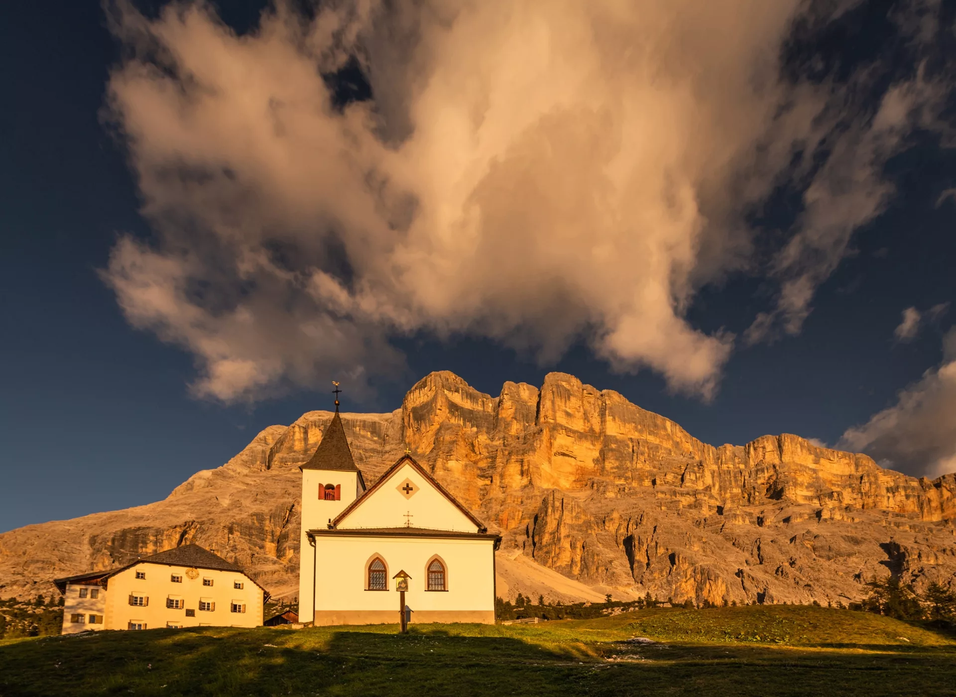
Today, you will hike beneath the imposing west face of the La Crusc in the Fanes-Senes-Braies Nature Park. Take the cable car up to La Crusc at 2,047m. There, you will find a chapel dating back to 1484, and adjacent to it, the Holy Cross Hospice was added in 1718, which today is a protected monument and a mountain hut. Through meadows, pastures, and forests, you will hike to San Cassiano, a village idyllically situated beneath the imposing rock walls of the Piz Cunturines, Piz Lavarela, and Lagazuoi. From here, you will take the public bus to Corvara to your next hotel.
Distance
approx. 13 km
Walking Time
approx. 5:00 h
Ascent
approx. 600 m elevation gain
Descent
approx. 1,150 m elevation loss
Today, you will hike beneath the imposing west face of the La Crusc, which is part of the Fanes-Senes-Braies Nature Park. Take the cable car up to La Crusc at 2,047m. There, you will find a chapel dating back to 1484, and adjacent to it, the Holy Cross Hospice was added in 1718, which today is a protected monument and a mountain hut. Initially, you will walk along the Stations of the Cross, then up in switchbacks to the Forcella de Medesc at 2,533m, where you will be greeted with an impressive view of the karst high plateau, which stretches expansively between the peaks of the Kreuzkofel group/Sasso della Croce to the east. Through meadows, pastures, and forests, you will hike to San Cassiano, a village idyllically situated beneath the imposing rock walls of the Piz Cunturines, Piz Lavarela, and Lagazuoi. From here, you will take the public bus to Corvara to your next hotel.
Distance
approx. 17 km
Walking Time
approx. 7:30 h
Ascent
approx. 1,150 m elevation gain
Descent
approx. 1,650 m elevation loss
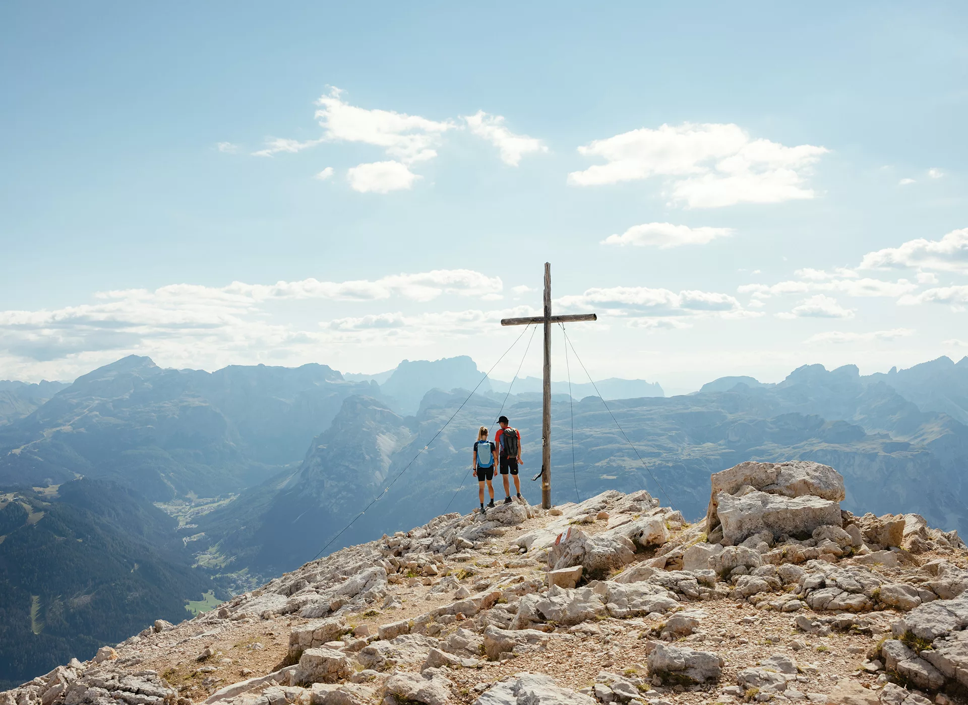
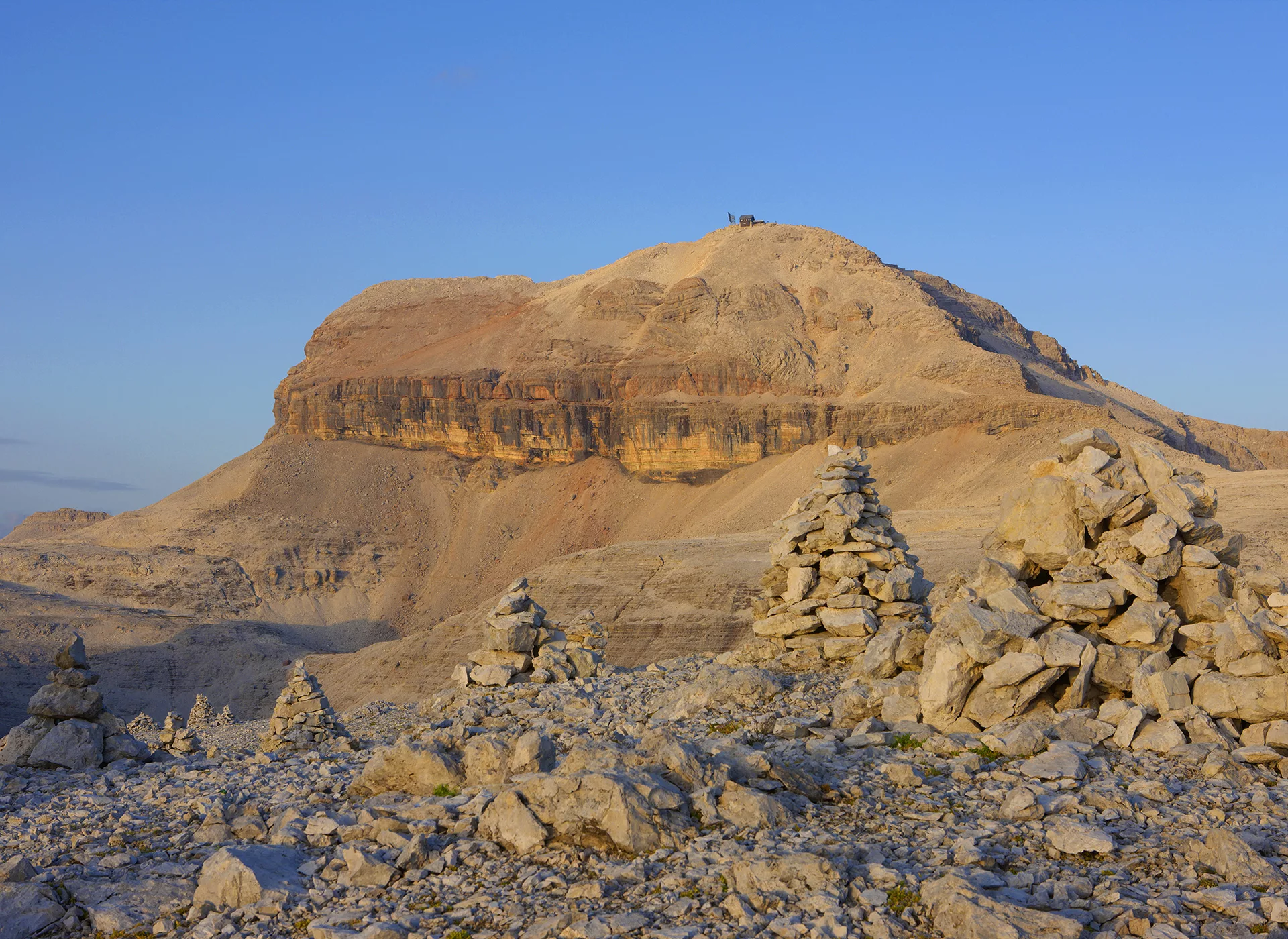
Today, you will ascend two peaks of the La Crusc Group, the La Crusc at 2,908m and its highest peak, the Zehner Spitze at 3,026m. The La Crusc Group is part of the Fanes-Senes-Braies Nature Park.
Take the cable car up to La Crusc at 2,047m. There, you will find a chapel dating back to 1484, and adjacent to it, the Holy Cross Hospice was added in 1718, which today is a protected monument and a mountain hut. Those choosing today’s stage must have a head for heights, surefootedness, and proficiency in climbing techniques (B/C level). Carrying climbing gear, including a climbing helmet, is highly recommended.
The tour ends in the village of San Cassiano, which is idyllically situated beneath the imposing rock walls of the Piz Cunturines, Piz Lavarela, and Lagazuoi. From here, you will take the public bus to Corvara to your next hotel.
Day 5 – In the Heart of the Dolomites
Distance
approx. 8 km
Walking Time
approx. 2:00 h
Ascent
approx. 250 m elevation gain
Descent
approx. 200 m elevation loss
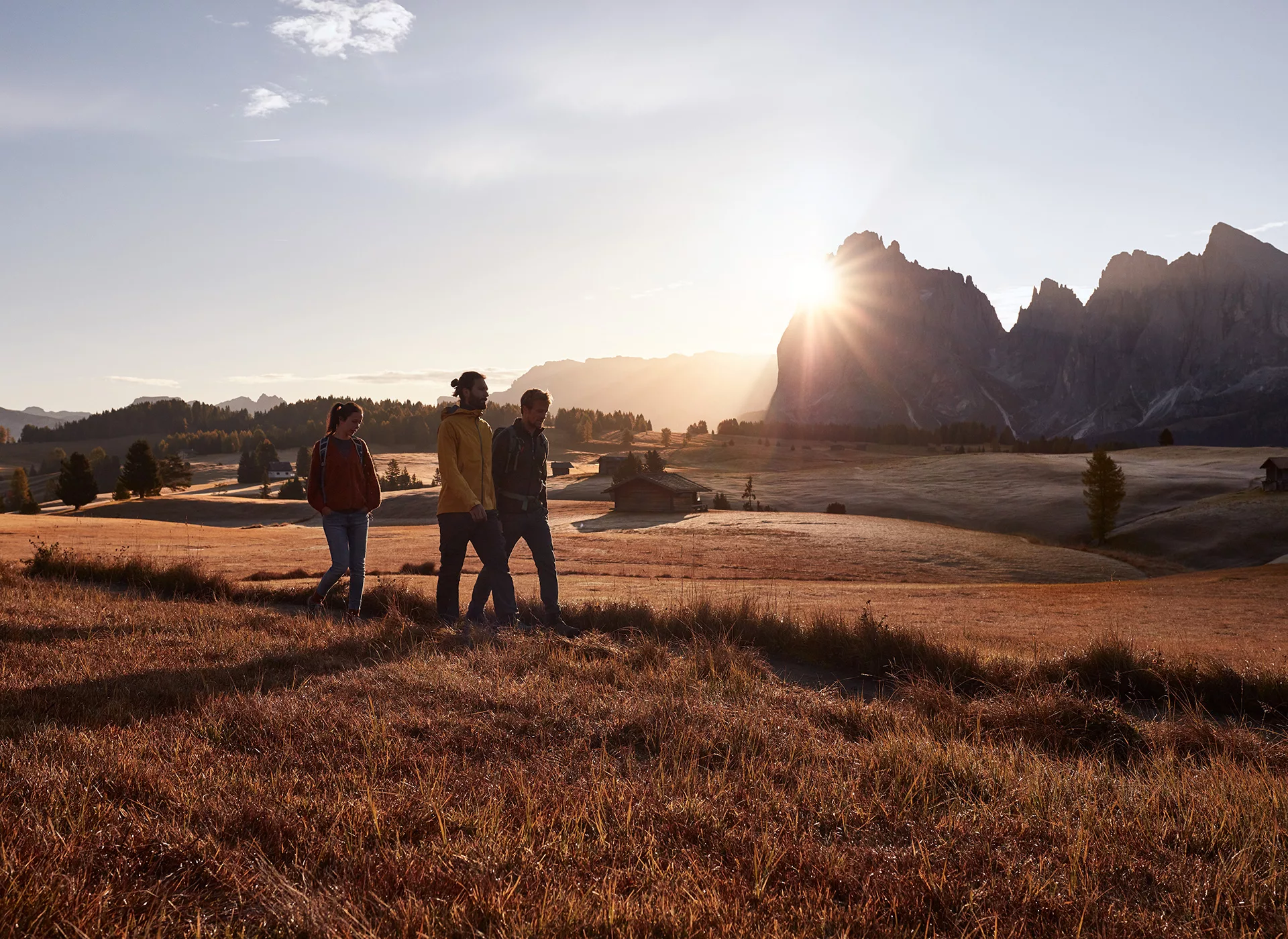
Take the Col Alt gondola in Corvara to an altitude of nearly 2,000m. From here, make your way up to Piz Arlara (2,011m). Continuing on to the Pralongià plateau, also known as the Amphitheater of the Dolomites, you will hike to the mountain station of the Pralongia chairlift (2,024m). Enjoy the beautiful plateau and panoramic views of the majestic Dolomite peaks, including the Fanes Group, the Puez Group, and even the Marmolata Glacier.
Upon returning to the valley, a shuttle bus will take you to Pozza di Fassa.
Distance
approx. 7 km
Walking Time
approx. 2:00 h
Ascent
approx. 600 m elevation gain
Descent
approx. 900 m elevation loss
Using the Boè cable car and chairlift, you will reach the Vallon mountain station at 2,526m. From here, you will hike with constant ups and downs to the Rifugio Franz Kostner Vallon (2,542m) and continue to the war cemetery Totenburg below the Pordoi Pass. During the First World War, Austrian-Hungarian, German, and Italian troops faced each other closely in the Dolomites between 1915 and 1917. The soldiers did not only die in combat but also due to cold and snow. The war cemetery at Pordoi Pass was a direct result of the War Graves Agreement concluded between the German Reich and the Kingdom of Italy in 1937. Construction of the memorial began in 1937 but was not completed when the Second World War broke out in 1939. In 1956, work resumed, and the memorial was finally inaugurated on September 19, 1959.
Distance
approx. 7 km
Walking Time
approx. 2:00 h
Ascent
approx. 800 m elevation gain
Descent
approx. 350 m elevation loss
Using the Boè cable car and chairlift, you will reach the Vallon mountain station at 2,526m. From here, you will hike to the Refugio Franz Kostner Vallon (2,542m) and then follow the Lichtenfelser Steig trail to the first climbing section (Difficulty A). You will continue with occasional, easy climbing to reach the first peak of the tour, the Piz Lech Dlacè (3,009m), and then proceed to the Piz Boe (3,152m). Upon reaching the Piz Boe, you will be welcomed by the Fassa Hut.
Next, you will continue towards Pordoi Spitze (2,938m) and the mountain station of the cable car of the same name, which will take you to the Pordoi Pass.
Upon returning to the valley, a shuttle bus will take us to Pozza di Fassa.


Day 6 – Catinaccio – in the Realm of King Laurin
Accommodation
Extension on the Seiser Alm (Seiser Alm) or in Bolzano (Bozen)
Meals
Breakfast, Dinner
Travel Distance & Time
36 km – 45 minutes
Distance
approx. 6 km
Walking Time
approx. 2:00 h
Ascent
approx. 350 m elevation gain
Descent
approx. 200 m elevation loss
Take the Catinaccio cable car to Ciampedie at 2,000m. Hike along the Fassa high trail to the Roda di Vaél at 2,283m, where you’ll enjoy impressive views of the surrounding mountains, including the Catinaccio group, the Pala Group, the Tofana, and even the Marmolata.
Next, hike along the Hirzelweg trail around the Cartinaccio to the Christomannos Monument, which was erected in honor of Theodor Christomannos, a pioneer of tourism in South Tyrol. From here, descend to the Paolina Hut and take the chairlift to Carezza.
The shuttle bus will take you back to the Seiser Alm. Extension or return journey.
Distance
approx. 9 km
Walkting Time
approx. 4:00 h
Ascent
ca. 550 hm
Descent
approx. 200 m elevation loss
Take the Catinaccio cable car to Ciampedie at 2,000m. Hike along the Fassaner Hoehenweg (Fassa High Trail) to the Rotwandhütte (Rotwand Hut) at 2,283m, where you’ll enjoy impressive views of the surrounding mountains, including the Rosengarten massif, the Pale Group, the Tofana, and even the Marmolata.
Next, hike along the Hirzelweg trail around the Rosengarten to the Christomannos Monument, which was erected in honor of Theodor Christomannos, a pioneer of tourism in South Tyrol. From here, continue to the Laurin Lodge and the newly built Bergstation König Laurin II. Take the cable car down to Frommer Alm, where the shuttle bus will be waiting to take you back to the Seiser Alm.
Extension or return journey.
Distance
approx. 9 km
Walking Time
approx. 5:00 h
Ascent
approx. 850 m elevation gain
Descent
approx. 500 m elevation loss
With the Catinaccio cable car, you will ascend to Ciampedie at 2000m. From here, you will hike to the Catinaccio Hut and then to the Vajolet Hut (2,245m), located in the shadow of the impressive Vajolet Towers. You will proceed to the Via ferrata Passo Santner (difficulty B/C), leading you to the Rifugio Re Alberto (2,608m). Here, you will be surrounded by imposing climbing towers such as the Delago Tower, the North Towers, the Catinaccio peak, and more.
You will then ascend to the Laurin Pass (2,629m) and reach the newly built Rifugio Passo Santner (2,723m). Continuing on, you will traverse the via ferrata, partly secured and partly involving free climbing with a difficulty level of II. This will lead you to the Rifugio Passo Santner (2,326m) and the newly constructed King Laurin II cable car station. You will descend via the cable car to Frommer Alm, where the shuttle bus will be waiting to take you back to Seiser Alm.
Extension or return journey.

Inclusions
- 5 nights in selected accommodations, rooms with bath/shower and toilet
- 5x breakfast, 5x dinner
- Luggage transport from accommodation to accommodation
- Transfers as per the itinerary
- App access with GPS tracks for the tours and detailed route descriptions and maps
- Voucher for travel literature
- ASI tour book
- Carbon offset for all travel emissions
Not Included
- Tourist tax at accommodations: approximately EUR 2.50-5.00 per person per night, payable directly on-site
- Dolomiti Summer Point Value Card with 1400 units, approximately EUR 140.00
Frequently Asked Questions about the Trip
Accommodation Information
You can decide when booking this trip whether you prefer to stay in a 3* or 4* hotel.
Difficulty Level 2: Easy (2 Peaks)
Low requirements for fitness and physical condition characterize this difficulty level. Trips in this category are especially suitable for beginners in the active holiday sector.
Requirements
Enjoyment and fun in nature and physical activity
Recommended Preparation
Once a week, brisk walking/Nordic walking for about an hour at the beginning, extended walks 2-3 months before departure
Ascents and Descents
Ascents and descents up to 400 meters in altitude; occasionally more
Walking Time
Up to 4 hours
Difficulty Level 3: Moderate (3 Peaks)
For these tours, a moderate level of fitness is required. Tours of this difficulty level are easily manageable for healthy individuals with normal fitness.
Requirements
Experience in the respective activity area is advantageous.
Recommended Preparation
2 times a week brisk walking/Nordic walking in hilly terrain, 2-3 months before departure.
Ascents and Descents
Up to 600 meters in elevation; occasionally more.
Walking Times
Up to 6 hours
Difficulty Level 4: Challenging (4 Peaks)
For these trips, good to excellent stamina is required. The tours can sometimes span the entire day.
Requirements
Pre-existing knowledge in the respective activity area
Recommended Preparation
2-3 times a week of active endurance training (cycling, running, aerobics, etc.) at least 6 months before departure
Ascents and Descents
Up to 1000 meters of elevation gain; occasionally more
Walking Time
Up to 8 hours
Arrival
TRAIN
You can take the train to the Brixen or Bozen train station, and then continue by bus to Kastelruth. You can find information about the timetable and schedules at the following links:
CAR
For the quickest route to the starting point, it’s best to enter the address of the meeting point into your trusted navigation system. You can find the address in the FAQs or in the travel documents. Please note that in the summer months, there is a restriction on highway exits in Austria, and a vignette is required.
Travel luggage
We arrange the transportation of your large luggage from accommodation to accommodation, allowing you to enjoy the tours with light luggage. Please try to keep the weight and volume of this additional luggage to a minimum so that the transport is not overly “burdened” (1 piece with a maximum of 20 kg per person). Don’t forget the ASI luggage tags! Please do not use a hard-shell suitcase or trolley!
Required Equipment
- Daypack with approximately 30 liters of capacity
- Travel bag for luggage transport
- Ankle-high hiking boots with a profile sole
- Water bottle with at least 1-liter capacity
- Practical hiking clothing (T-shirts, trekking pants, hiking socks)
- Warm additional clothing (sweater, hat, gloves)
- Anorak (with a hood) and overpants, windproof and waterproof (e.g., Goretex)
- Sun protection (head covering, sunglasses, sunscreen)
- Toiletries and personal medications
- Via ferrata equipment
Additionally recommended equipment
- Telescopic hiking poles as walking aids
- Swimwear
- Functional underwear/clothing (breathable)
- Rain cover for the backpack
- Comfortable clothing and shoes
- Camera equipment, binoculars
- Pocketknife
- Snacks (e.g., granola bars), drink powders, etc.
Booking with ASI Reisen
ASI Reisen is the official booking center for the Dolomites Ronda. In just a few steps, you can book your perfect tour with peace of mind. We organize accommodation, luggage transport, trip notes, optional guides, and a 24/7 service number for you.
Since 1963, the Tyrolean family business has been offering sustainable active and adventure trips. These trips take you to more than 100 countries around the world, from gourmet regions to high alpine areas, where fresh air, the sounds of nature, and narrow paths await.